Arselle Peatbog (Preserved Natural Area)
Contact
Arselle Peatbog (Preserved Natural Area)
Chamrousse 1600 / 1750
38410
Chamrousse
- Spoken language(s) :
- French
- Internal criteria :
- Chamrousse 1600
Presentation
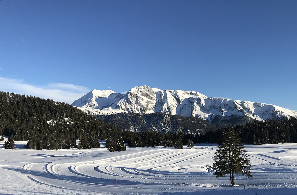
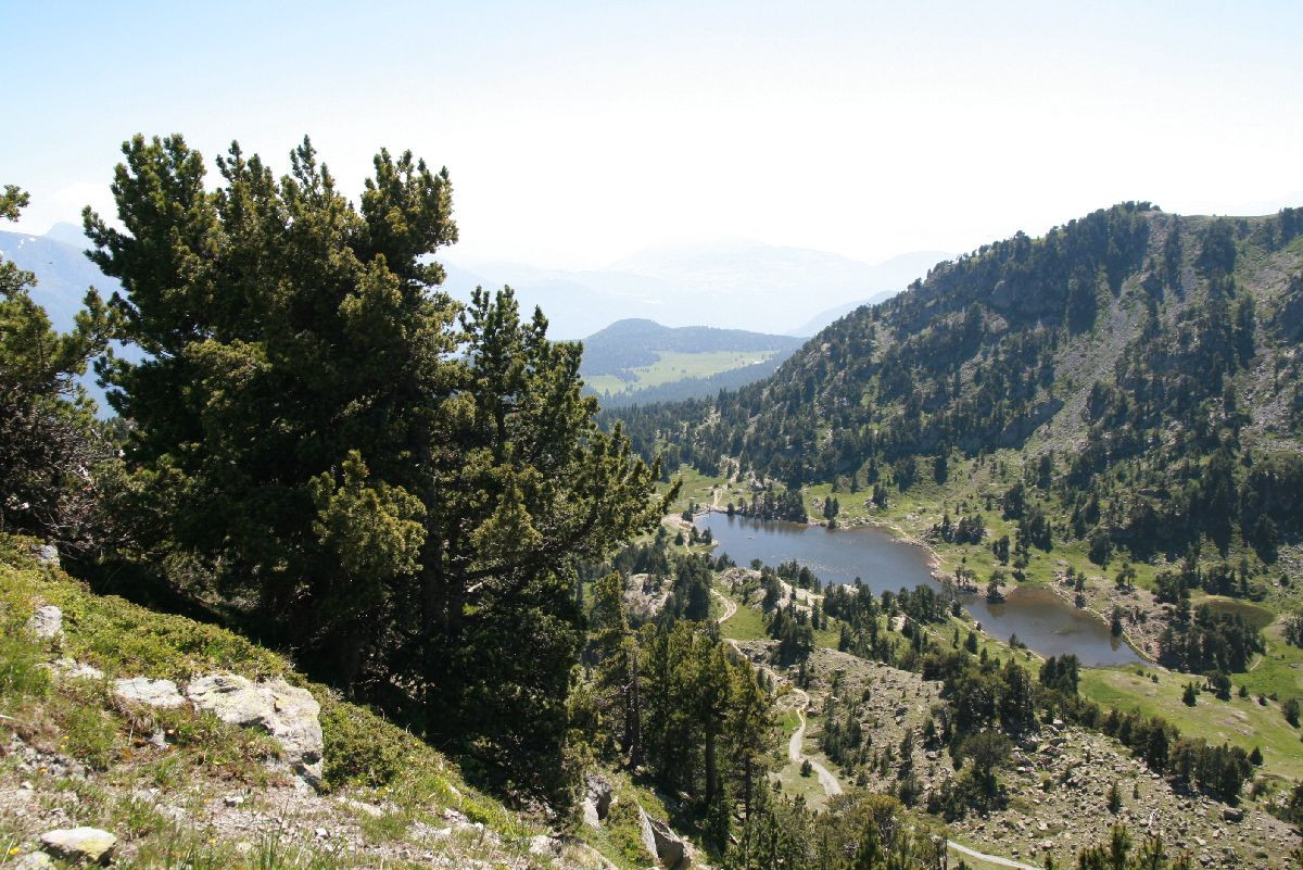
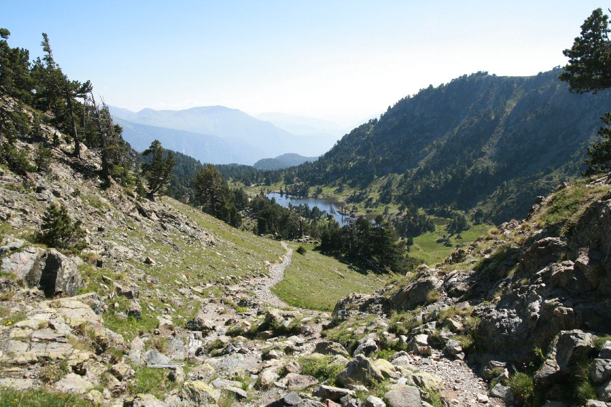
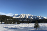
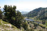
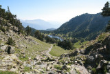
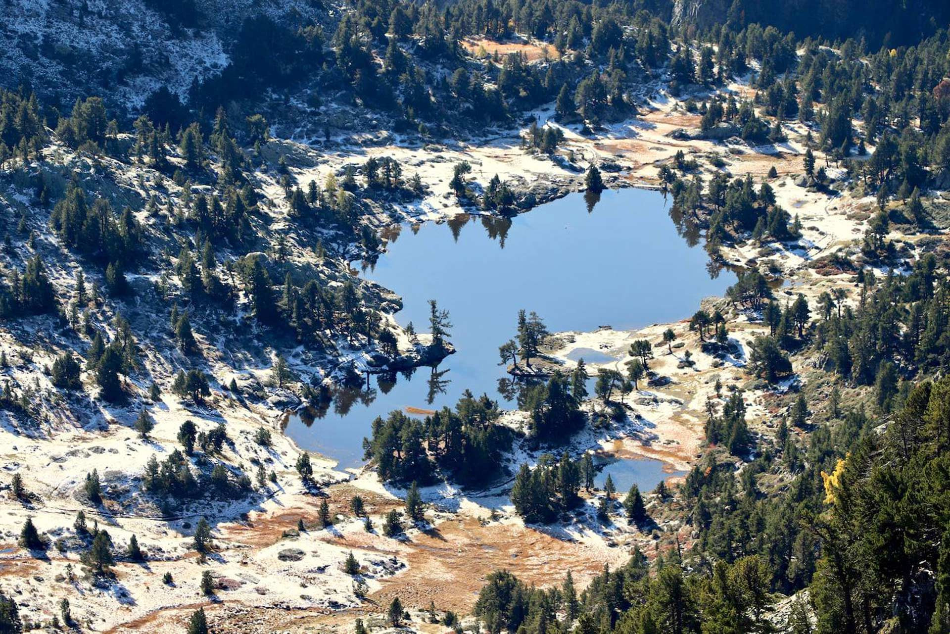
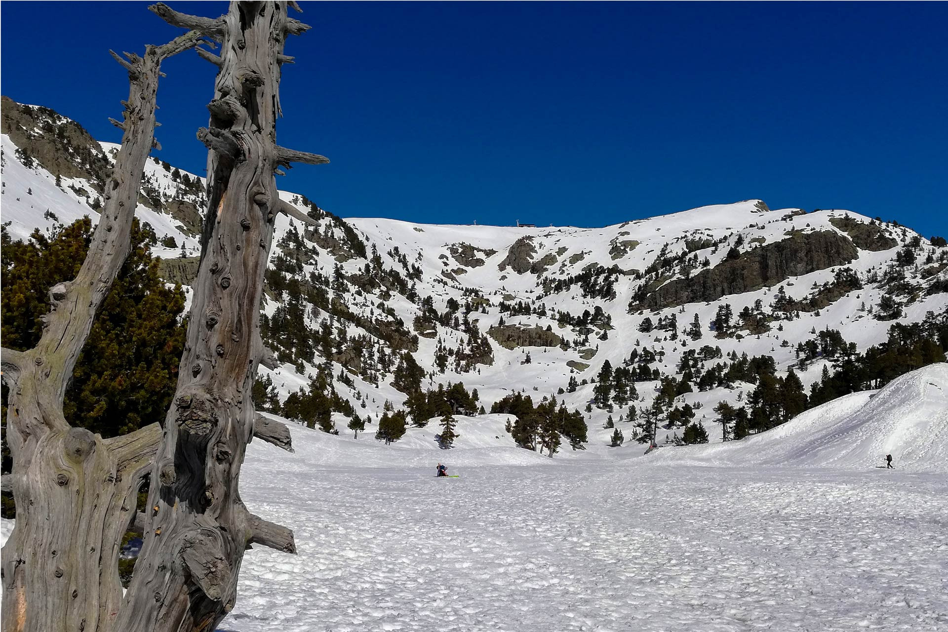
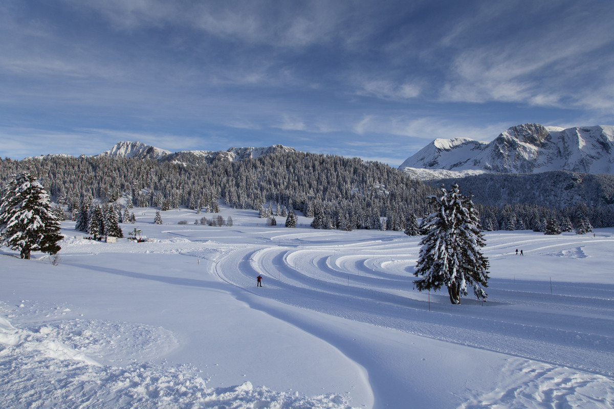
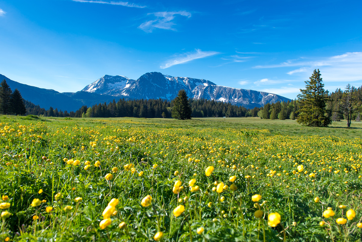
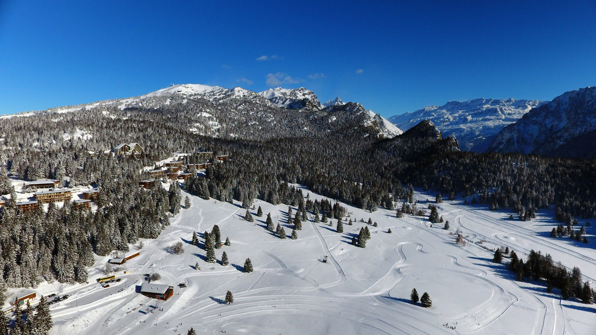
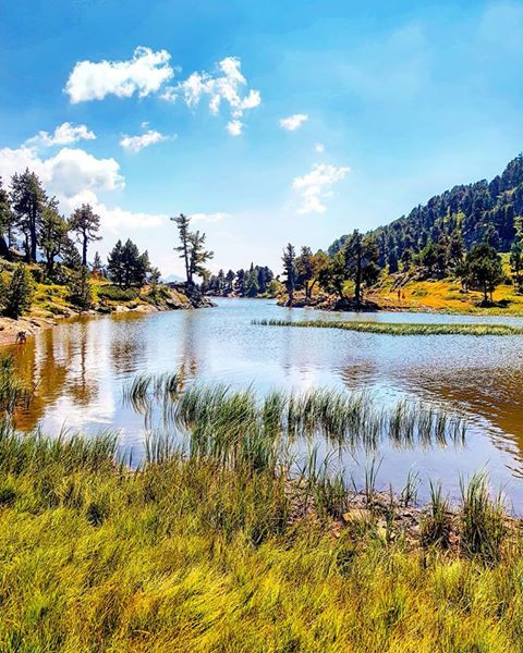
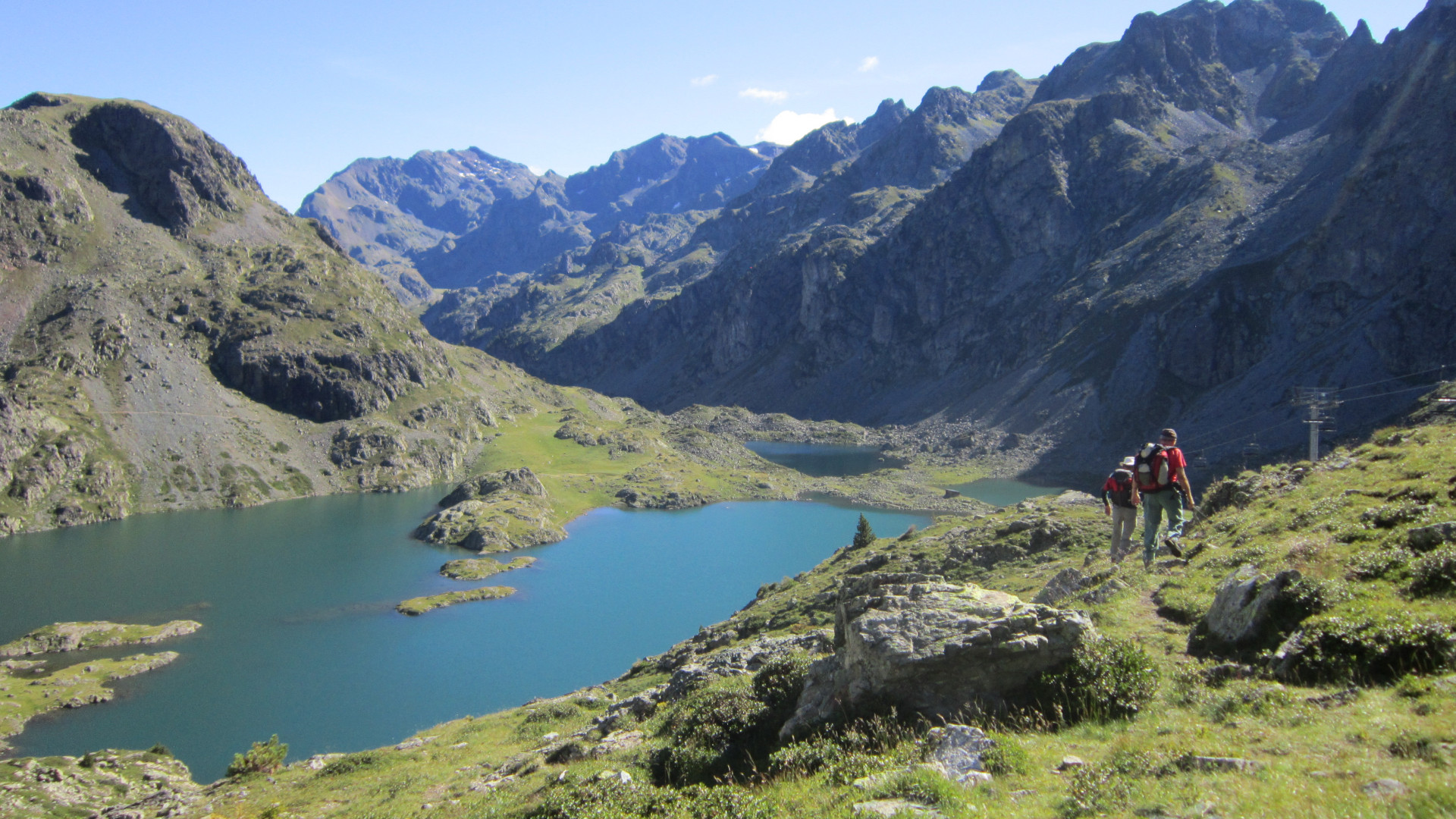
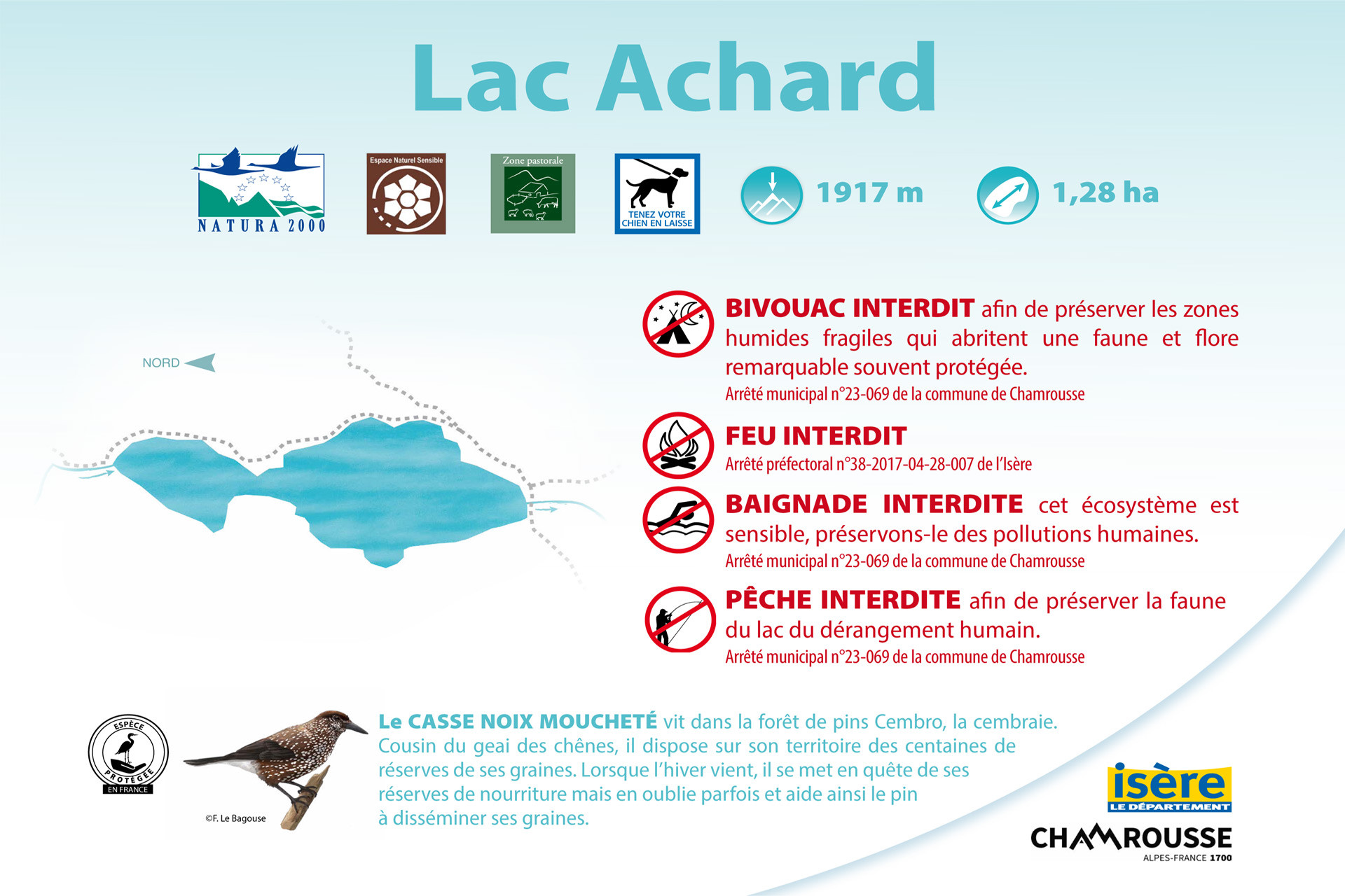
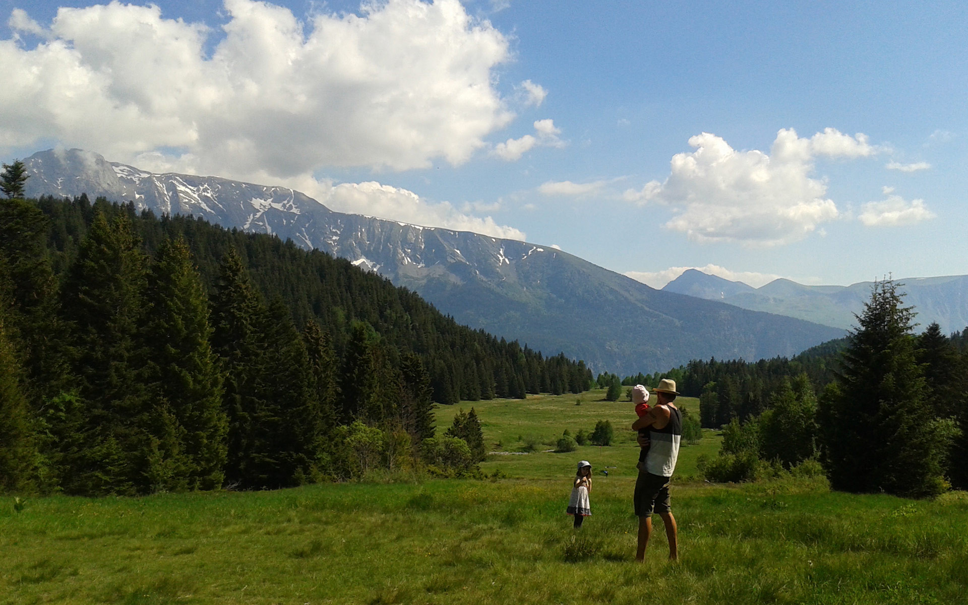
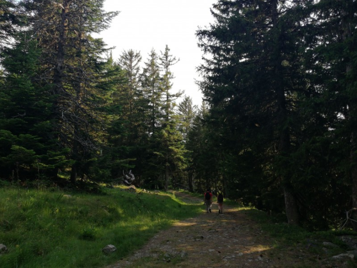
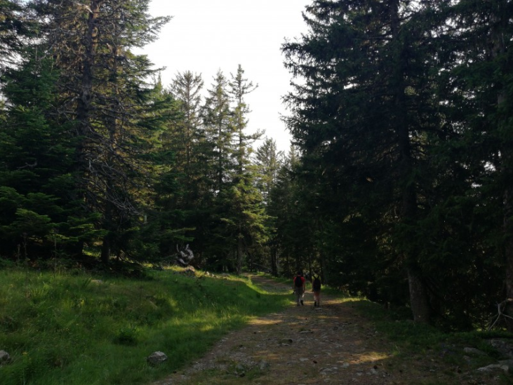
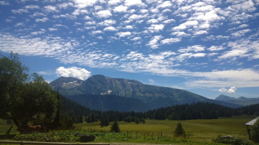
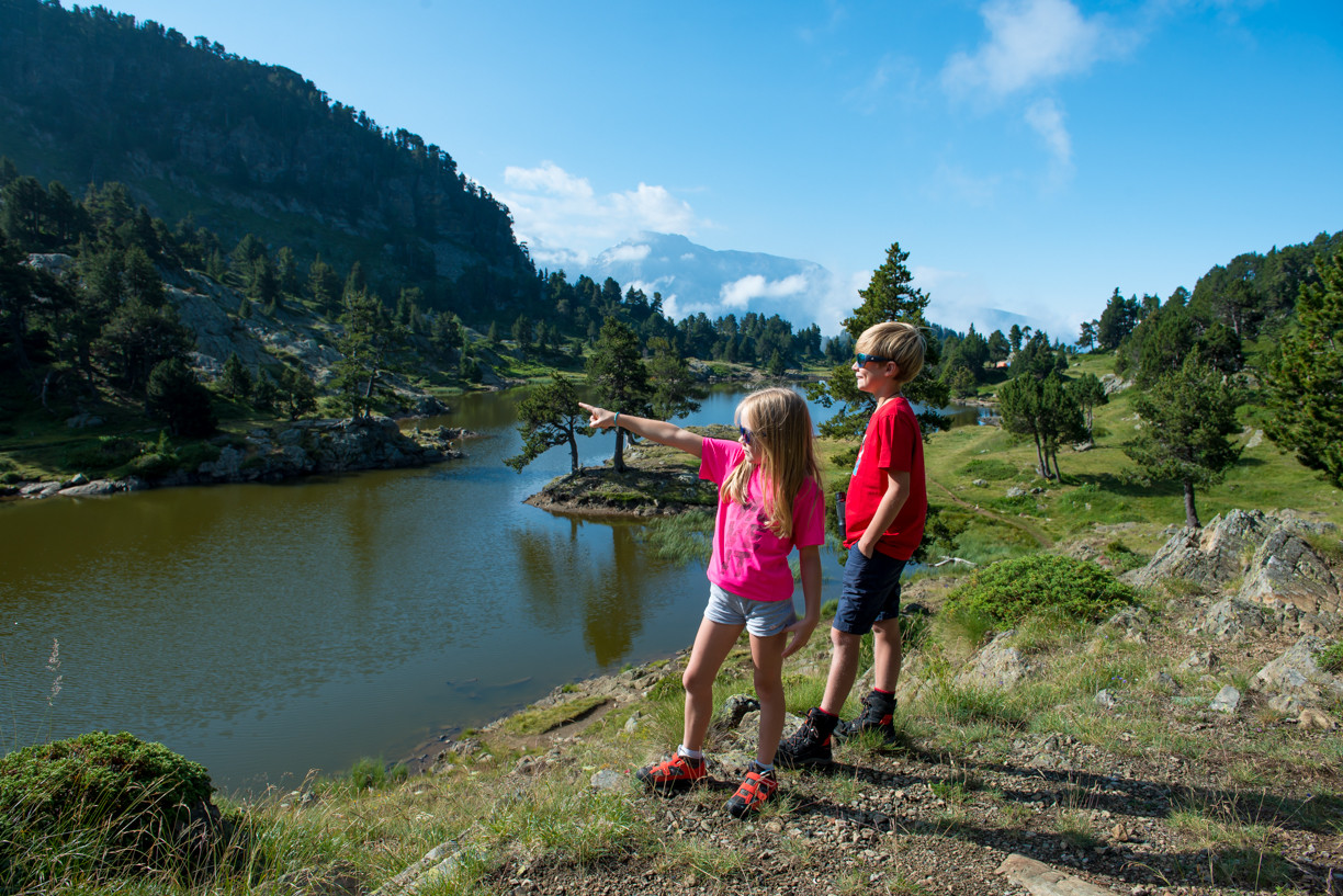
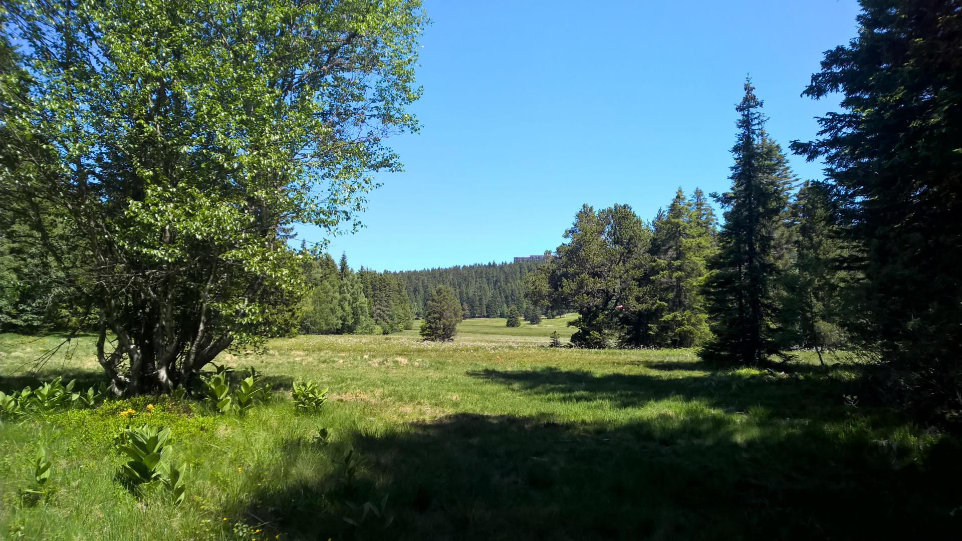
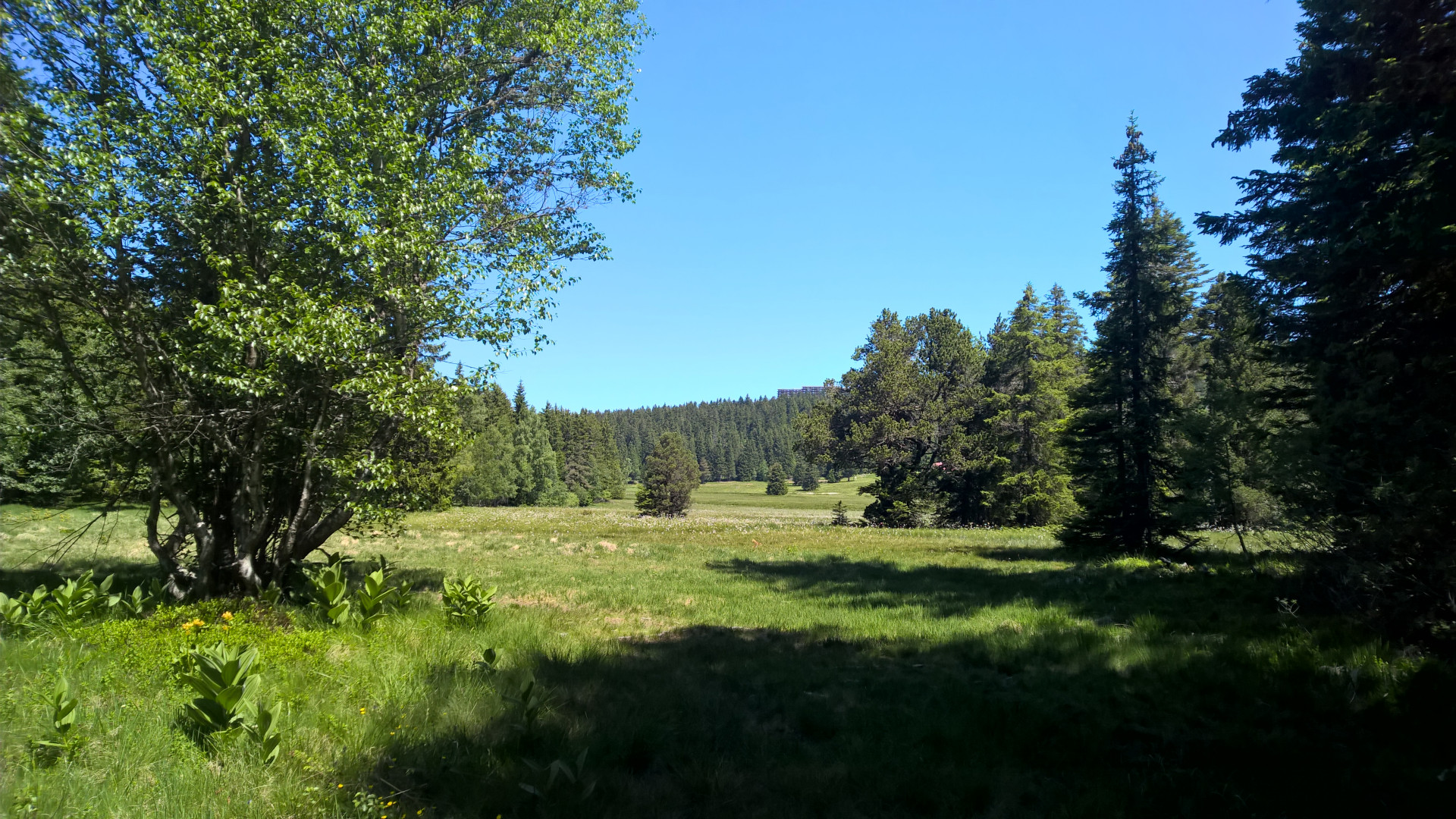
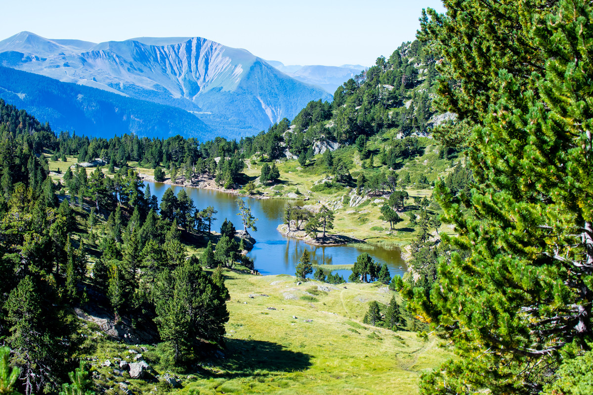
The site is composed of the catchment area of Lake Achard, as well as the valley and the vast peaty plateau of Arselle, which are crossed by the Salinière stream. This site has been included in the Natura 2000 (Europe) and ENS* (Department) networks.
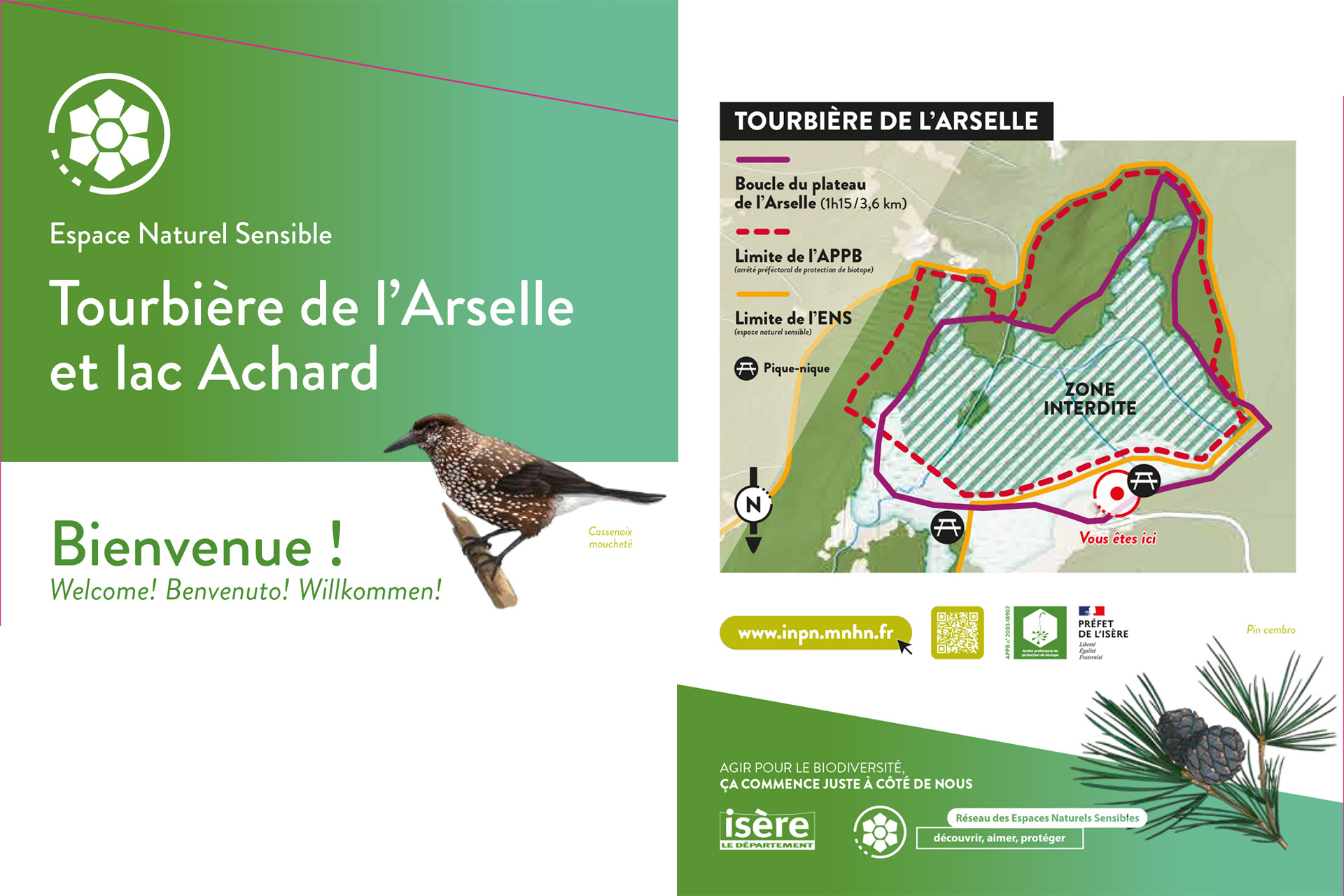
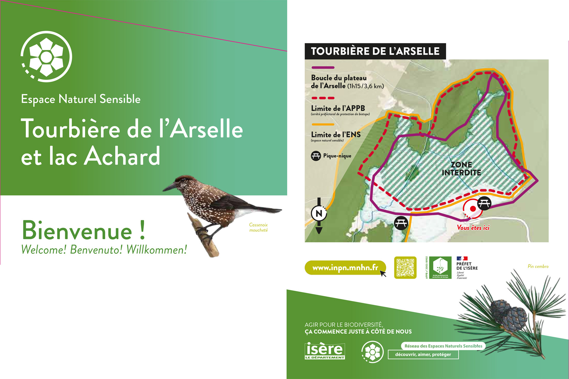
Because of the peat bog that makes up the plateau, and its landscape, botanical and faunistic interest, the Arselle plateau is a natural area protected by an arrêté préfectoral de protection de biotope since 2019. The aim of this decree is to preserve the site and the plant and animal species present.
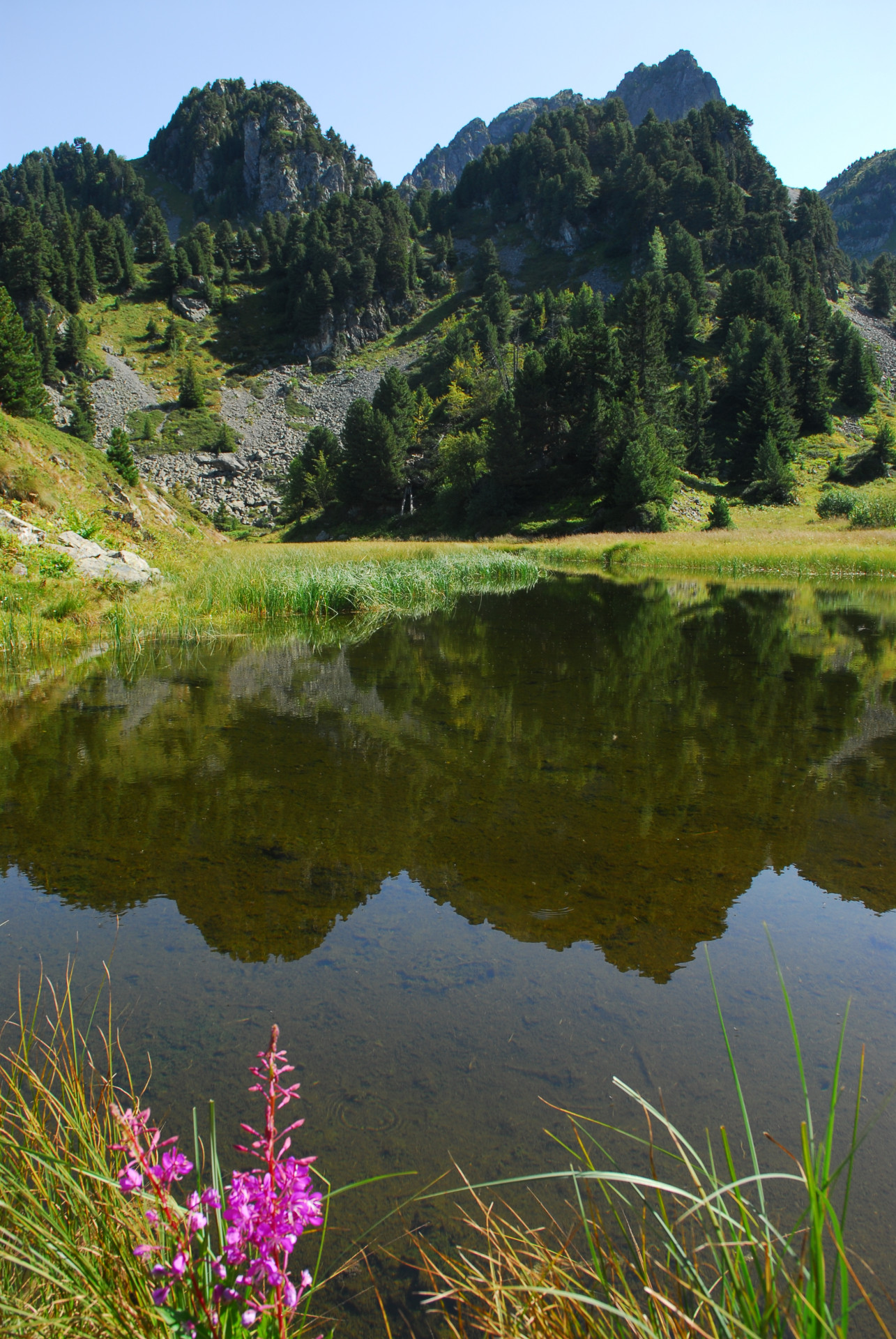
This peat bog is of a particular type, as it forms on acidic soils. Few plant species can colonize this environment (e.g. sphagnum moss, cattail and common butterwort). Droséra and Grassette are carnivorous species. These flowers feed on insects that provide them with the nitrogen they can't find in this poor soil. They capture the insects and digest them using enzymes contained in the viscous droplets they secrete.
Similarly, the forest, wetland and rocky habitats in the Lac Achard watershed and in the Vallon de la Salinière are home to a wealth of heritage flora and fauna, which led to an extension of the ENS perimeter, in order to preserve them in the face of increasing visitor numbers.
The site is home to many protected species: the Arctic cordillera (dragonfly), Vandeli's androsacea (flower), Frog orchid, Alpine newt (amphibian), Bearded vulture (bird), Alpine ibex, Schreibers miniopter (bat), and more.
Take to the trails to discover these rare and sensitive environments, accompanied by local guides: Bureau des Guides de Chamrousse and Belledonne en marche.
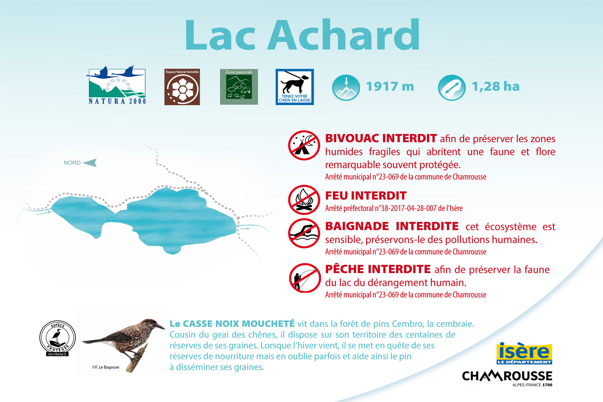
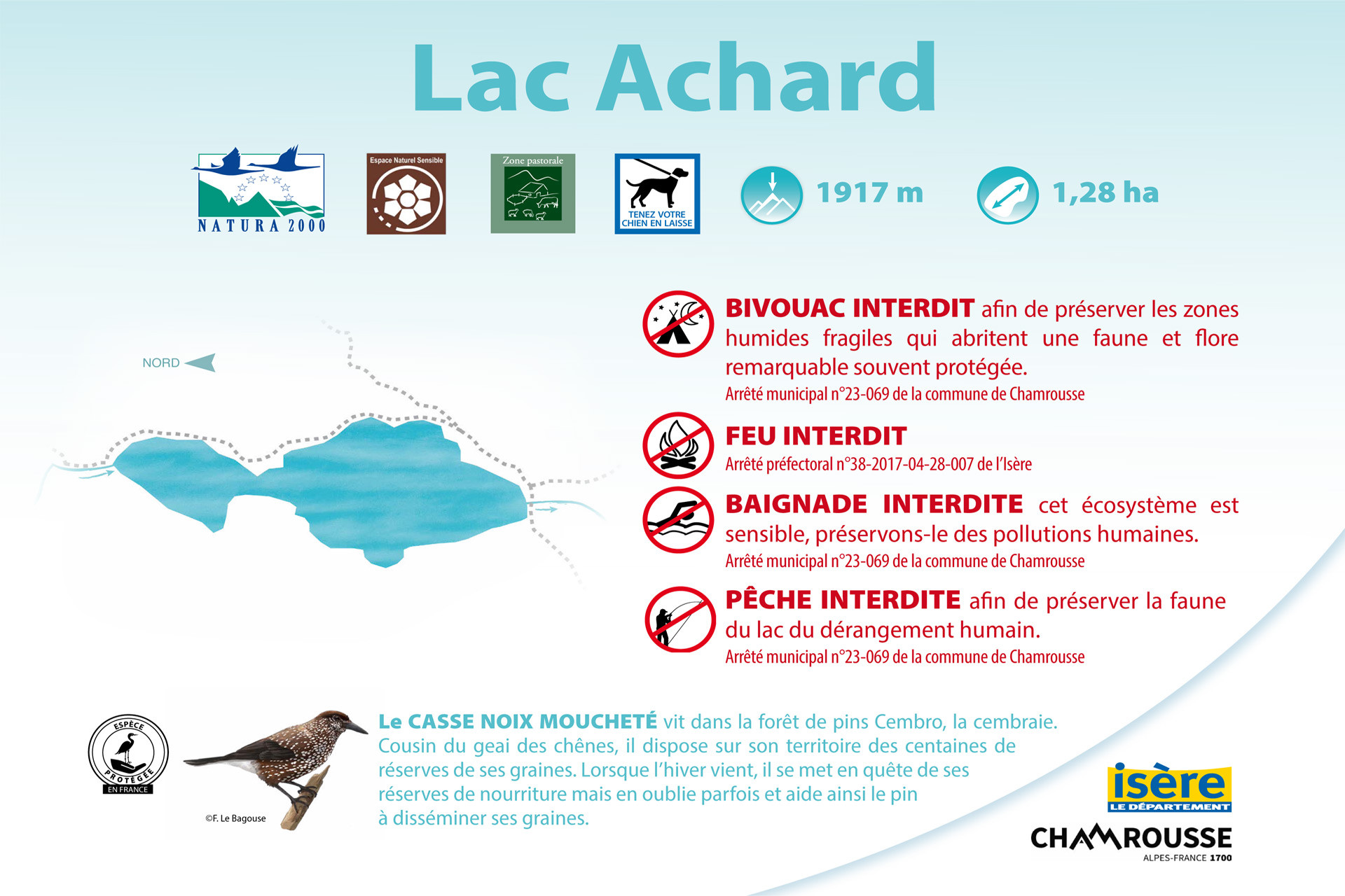
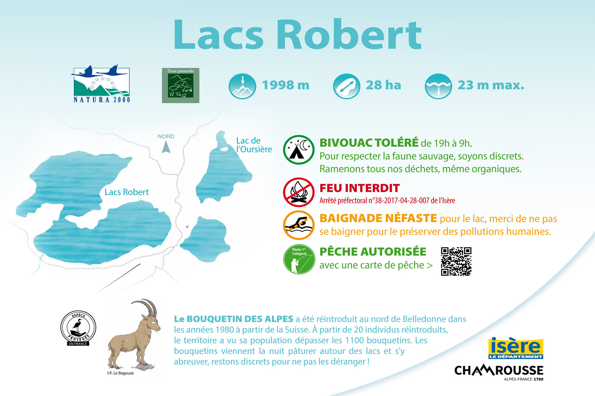
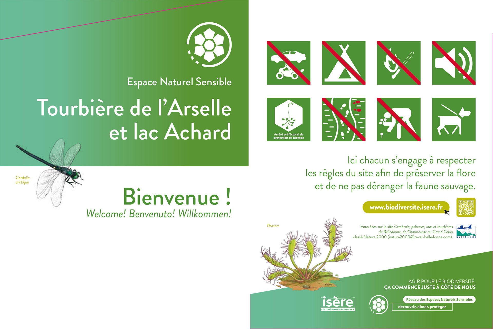
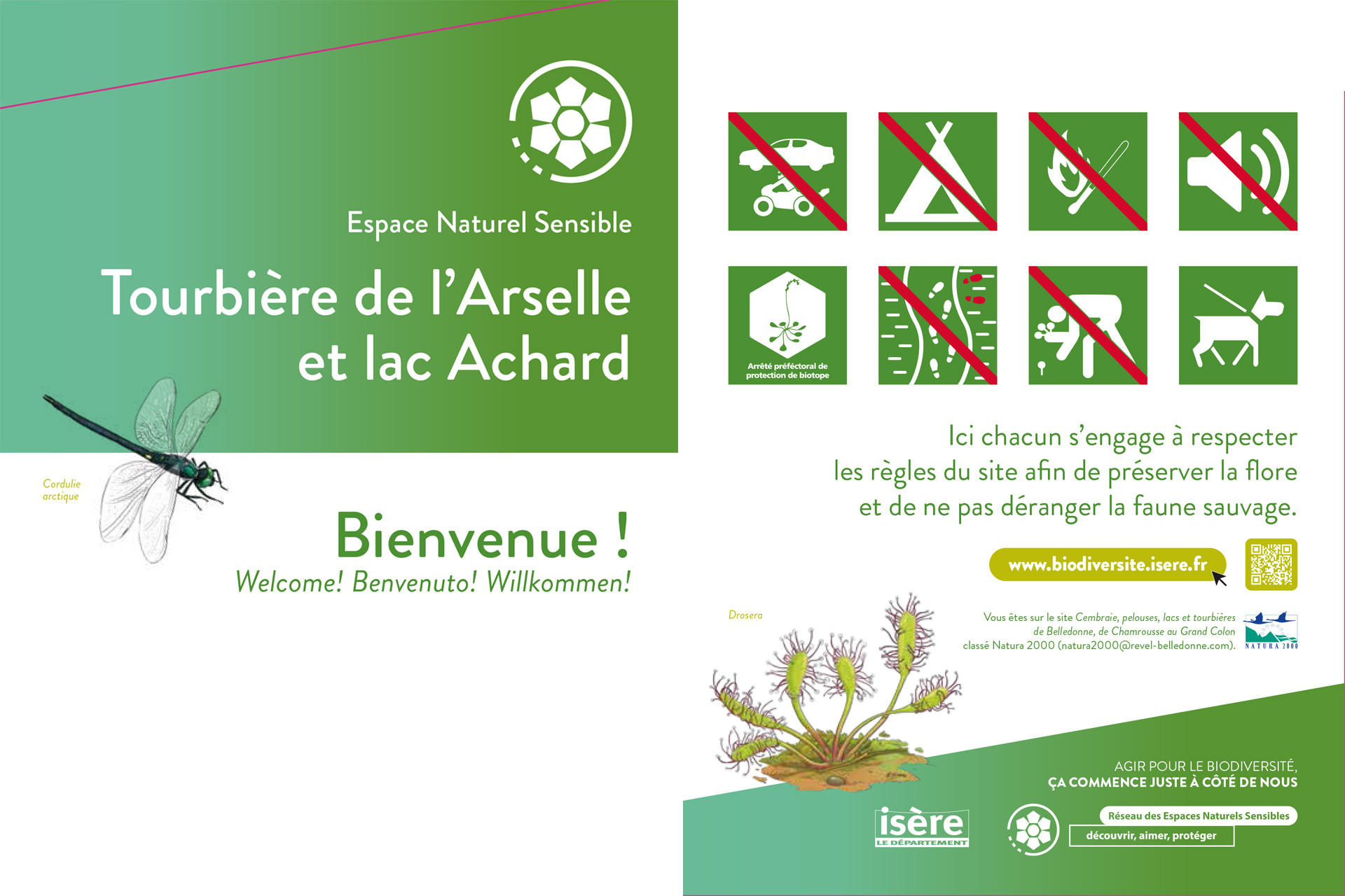
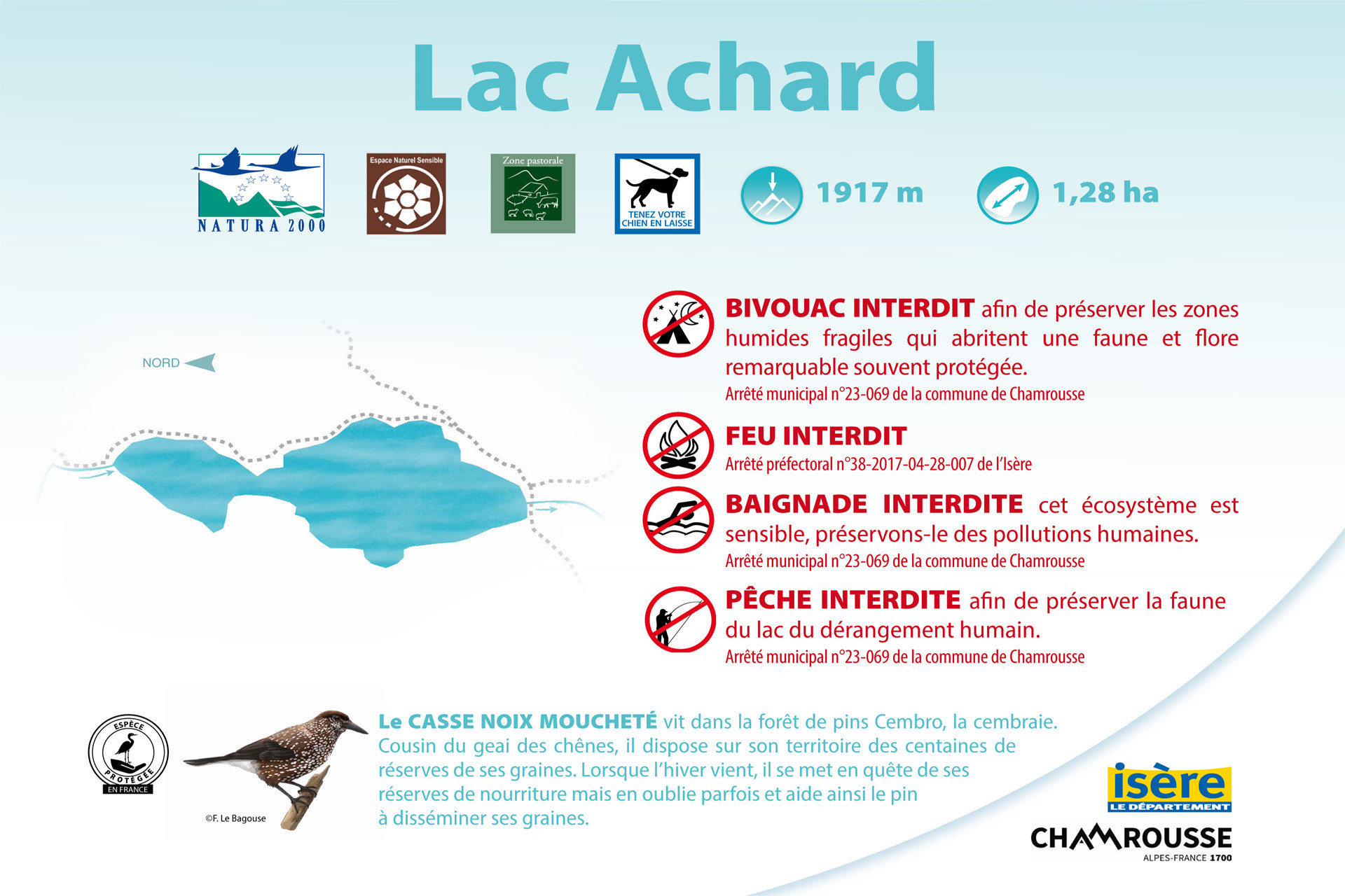
⚠ Please note: burning, camping, fishing and swimming are strictly forbidden (under penalty of fine). Bivouacs are permitted on Lac Achard from sunset to sunrise (except from early May to late October + Infernet area) and strictly forbidden on the Arselle plateau. Please stay on the paths to preserve the fragile environment (the Arselle peat bog is classified as an APPB - Arrêtés Préfectoraux de Protection Biotope - and it is forbidden to go onto the plateau off the path).
Regulations:
• Arselle plateau: protected natural site - Peat bog classified as APPB (Prefectural Orders for Biotope Protection) + Sensitive Natural Area Arselle-Achard
❌ Prohibited: fire, wild camping, bivouac (from May, 1st to October, 30th), picking and depositing waste, leaving the paths, dog without a lead
✔️ Authorised: walking on the trails
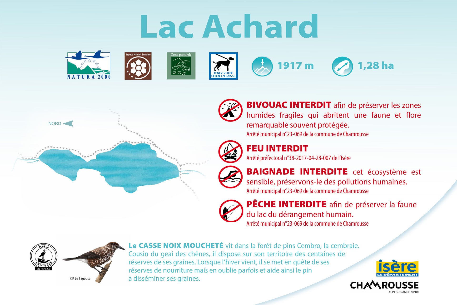
• Achard lake: Arselle-Achard Sensitive Natural Area site
❌ Prohibited: fire, camping, fishing and swimming, tree picking and cutting
✔️ Authorised: bivouac from sunset to sunrise (except from May, 1st to October, 30th during the summer overcrowding period), dog on a lead.
Opening periodAll year round daily.
Subject to favorable weather.
Subject to favorable weather.
Download
General informations
- Period :
- Fall
- Summer
- Winter
- Spring
- Open year-round
- Classifications :
- Sensitive natural areas Spanish
- classifications
Tarifs
Free access.
Destination
Espace Naturel Sensible Tourbière de l'Arselle et lac Achard
Chamrousse 1600 / 1750
38410
Chamrousse
GPS coordinates
Latitude : 45.099458
Longitude : 5.877494
access : Croisette and Arselle parking lots
We also suggest...
Altitude lake 7 natural wonders Baignade interdite Bivouac interdit de début mai à fin octobre
-
Classifications :
- Sensitive natural areas Spanish
- classifications
Bog 7 natural wonders
-
Classifications :
- Sensitive natural areas Spanish
- classifications
Chamrousse 1650 Chamrousse 1750
-
Route type :
-
Difficulty :
-
Walking time (round trip) :
- by the day
-
- Bus stop 500 m away
Chamrousse 1650 Chamrousse 1600
-
Route type :
-
Difficulty :
-
Walking time (round trip) :
- by the day
-
Grouping by age (EN) :
-
- Bus stop 500 m away
Chamrousse 1750 Baignade interdite Bivouac interdit de début mai à fin octobre
-
Route type :
-
Difficulty :
-
Walking time (round trip) :
- half day
-
Grouping by age (EN) :
-
- Bus stop 500 m away
Chamrousse 1750 Chamrousse 1600
-
Route type :
-
Difficulty :
-
Walking time (round trip) :
- until 1h30
-
Grouping by age (EN) :
-
- Shuttle stop 300 m away
-
Route type :
-
Difficulty :
-
Grouping by age (EN) :
-
Route type :
-
Difficulty :
-
Grouping by age (EN) :
Chamrousse 1600
-
Route type :
-
Difficulty :
-
Walking time (round trip) :
- half day
-
- Bus stop 500 m away
Chamrousse 1600
-
Route type :
-
Difficulty :
-
Walking time (round trip) :
- until 1h30
-
Grouping by age (EN) :
-
- Bus stop 500 m away
Chamrousse 1750 Chamrousse 1600
-
Route type :
-
Difficulty :
-
Walking time (round trip) :
- until 1h30
-
Grouping by age (EN) :
-
- Shuttle stop 300 m away
Altitude lake Baignade interdite
Chamrousse 2250 Baignade interdite Bivouac interdit de début mai à fin octobre
-
Route type :
-
Difficulty :
-
- Help for client/transport
-
- Bus stop 500 m away


