Chamrousse 1650 - Arselle plateau [L5+L1]
Chamrousse 1650 <-> Nordic area ("Arselle" plateau) hike: 5 km.
Itinerary in two parts: Chamrousse 1650 <-> lower parking of the "Arselle" plateau (L5 with 4,6km) + lower parking <-> "Arselle" plateau (L1 with 0,4km).
Itinerary in two parts: Chamrousse 1650 <-> lower parking of the "Arselle" plateau (L5 with 4,6km) + lower parking <-> "Arselle" plateau (L1 with 0,4km).
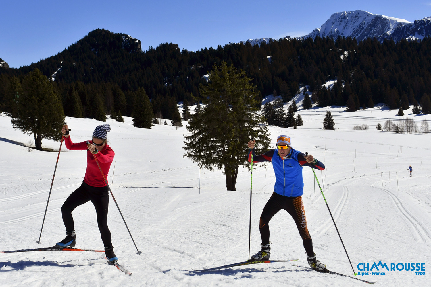
Connections are for pedestrians, nordic skiing, snowshoeing, fatbike.
In high season chose your way back: take the free shuttle or walk on the connecting path.
In high season chose your way back: take the free shuttle or walk on the connecting path.
Animals allowed: dogs are allowed on all trails on a leash (but please avoid taking them to the Arselle plateau, which is a sensitive natural area).
The shepherd who works in Chamrousse in summer does not have patous.
Trail groomed in winter, snowshoeing not compulsory but recommended depending on weather and snow conditions.
The shepherd who works in Chamrousse in summer does not have patous.
Trail groomed in winter, snowshoeing not compulsory but recommended depending on weather and snow conditions.
Opening periodAll year round.
Contact
Chamrousse 1650 - Arselle plateau [L5+L1]
42, place de Belledonne
Chamrousse 1650
38410
Chamrousse
- Spoken language(s) :
- French
- English
Route
 Type of route:
:
Aller / Itinerance
 4.2
km (distance)
 90
minutes (session length)
 150
metres (positive drop)
 160
metres (negative drop)
 Arselle plateau
 Chamrousse 1600 - Plateau de l'Arselle
 Chamrousse 1650 - Recoin
 Departure/Arrival
 Point of interest
Circuit n° 1
Public transport - stop Chamrousse 1650 - Recoin :
- regular bus service all year round: N93 (to/from Grenoble), "Chamrousse 1650" stop [merger of former T87, Transaltitude, Destination nature Skibus / Estibus 707].
Good to know - another stop less than 500m away (Place de Belledonne, near the Tourist Office):
- bus line / shuttle service by reservation on weekdays excluding public holidays: Flexo 57 (to/from Uriage), "Chamrousse - Le Recoin" stop [former TAD TouGo - line G701].
- winter season resort shuttle: "Télécabine (1650)" stop (to/from Chamrousse 1750 - Roche Béranger and Chamrousse 1600 - plateau de l'Arselle/nordic area)
- Mobility :
- Bus stop 500 m away
Download
General informations
- Services :
- Pets allowed
Equipments & Services
- Parking :
- Parking facilities nearby
Pics
Pics
We also suggest...


