Chamrousse running trails
Contact
Chamrousse running trails
Chamrousse 1600 / 1650 / 1700 / 1750
38410
Chamrousse
- Spoken language(s) :
- French
Presentation
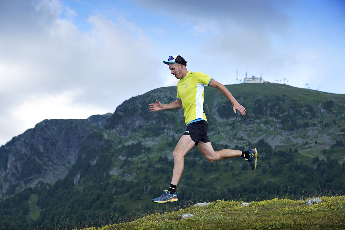
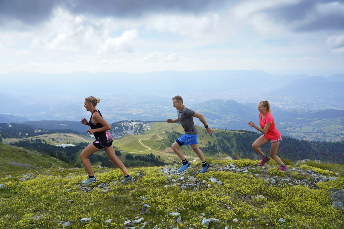
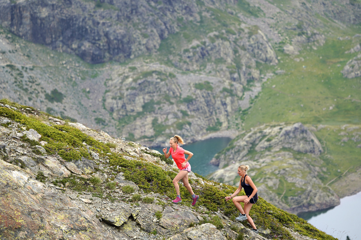
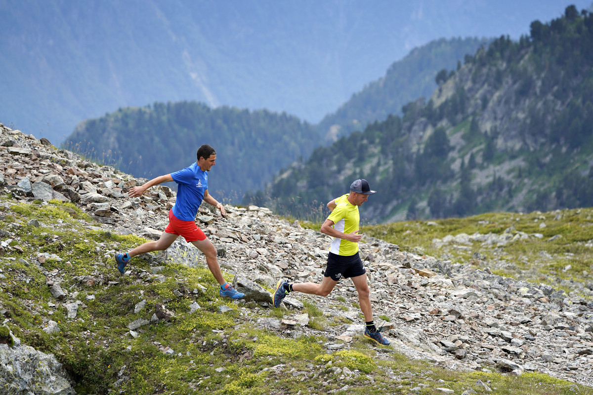
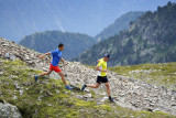
Chamrousse is a natural and wild terrain between lakes, waterfall and mountains for the greatest pleasure of trailers.
Come take a breath of fresh air and discover the running trails of Chamrousse.
Come take a breath of fresh air and discover the running trails of Chamrousse.
Different levels and a great diversity of landscapes are available to you:
- Green (easy/ 2-5km/ 0-150 D+): Tour of the Arselle Plateau, connection Chamrousse 1650 - Chamrousse 1750 and Chamrousse 1750 - Vallons lake.
- Blue (medium / 5-10km / 150-250 D+): Arselle Plateau - Achard lake, Chamrousse tour, Chamrousse 1650 - Aiguille and Chamrousse 1650 - Ramettes.
- Red (difficult / 10-15 km / 250-500 D+): Seiglières / Gafe - Robert lakes, Chamrousse 1650 - Ramettes - Robert lakes, Chamrousse 1650 - Aiguille - Robert lake and course of the event "Trails des lacs de Chamrousse - Belledonne"
- Black (very difficult / +15 km / 500-1500 D+): Chamrousse lakes tour
Cani-trail or cani-cross: dogs are allowed on all trails on a leash (however, they should not be taken to the Arselle plateau, which is a sensitive protected natural area).
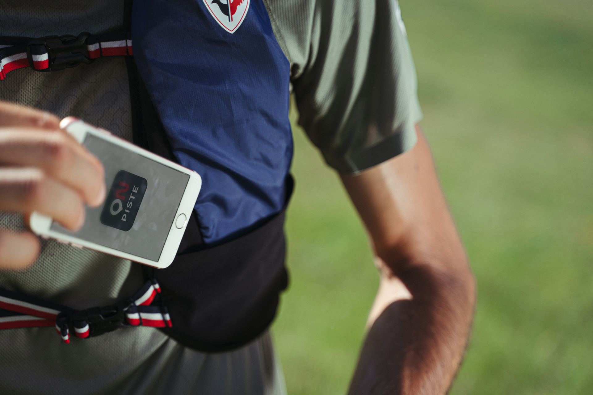
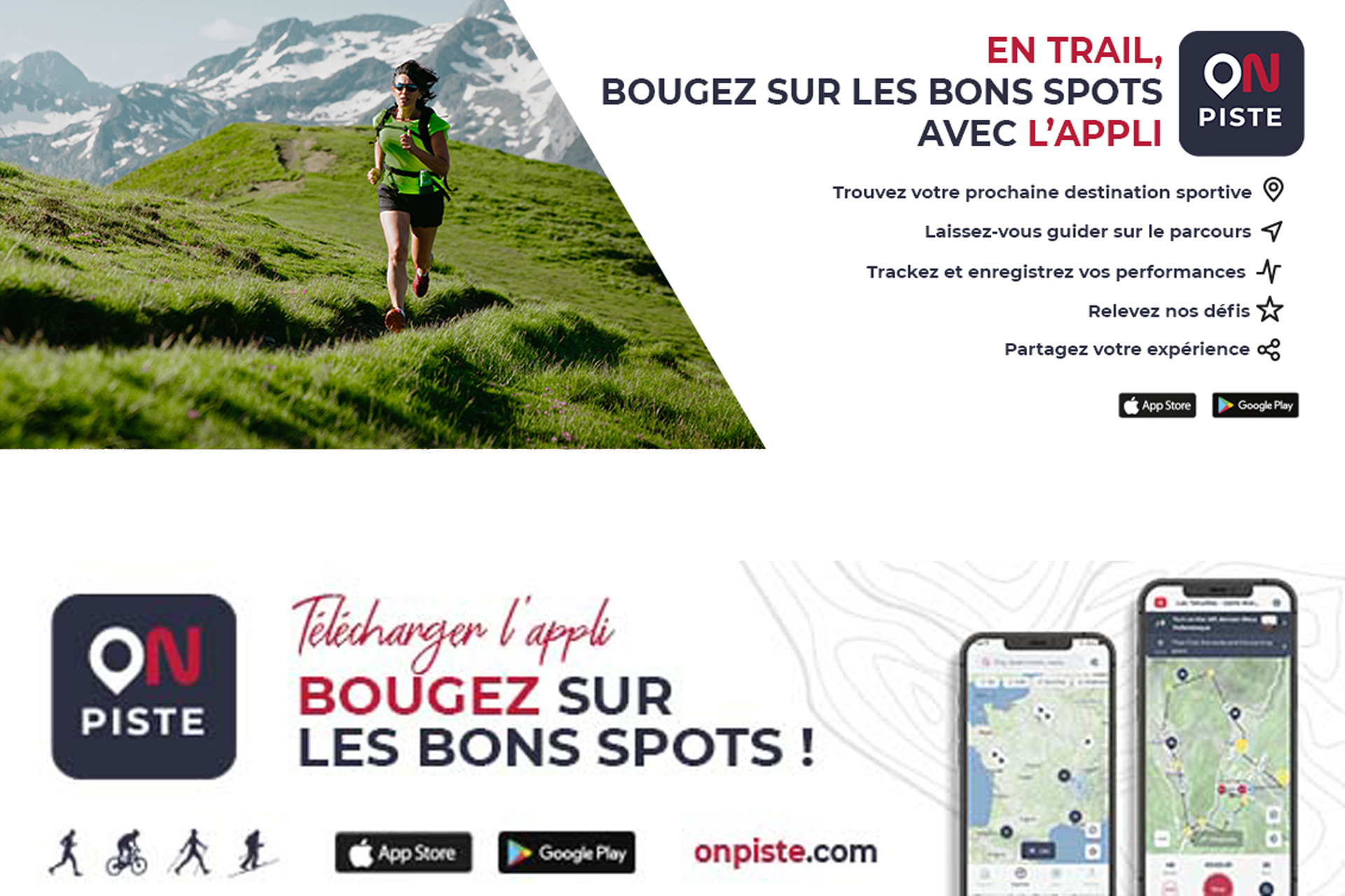
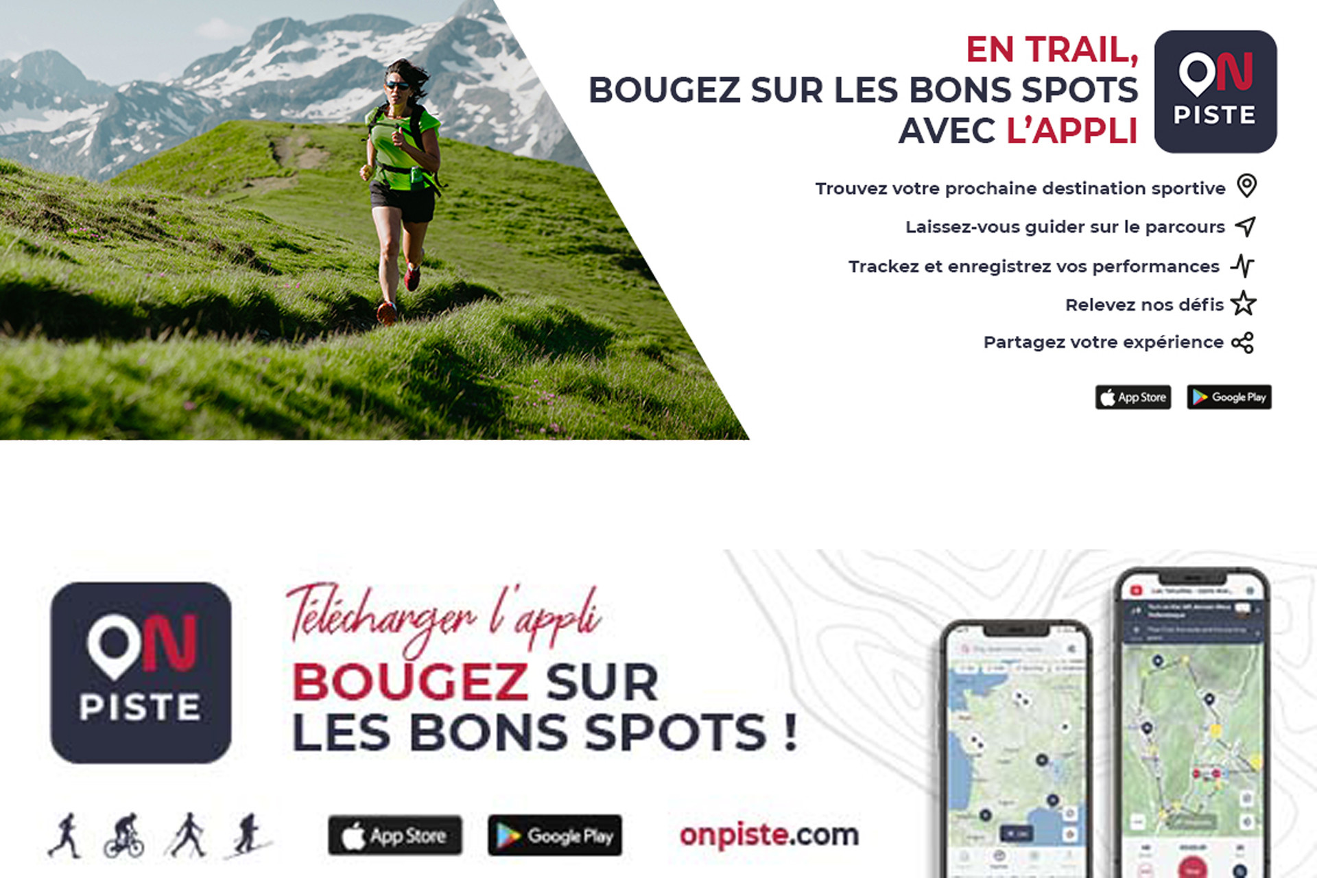
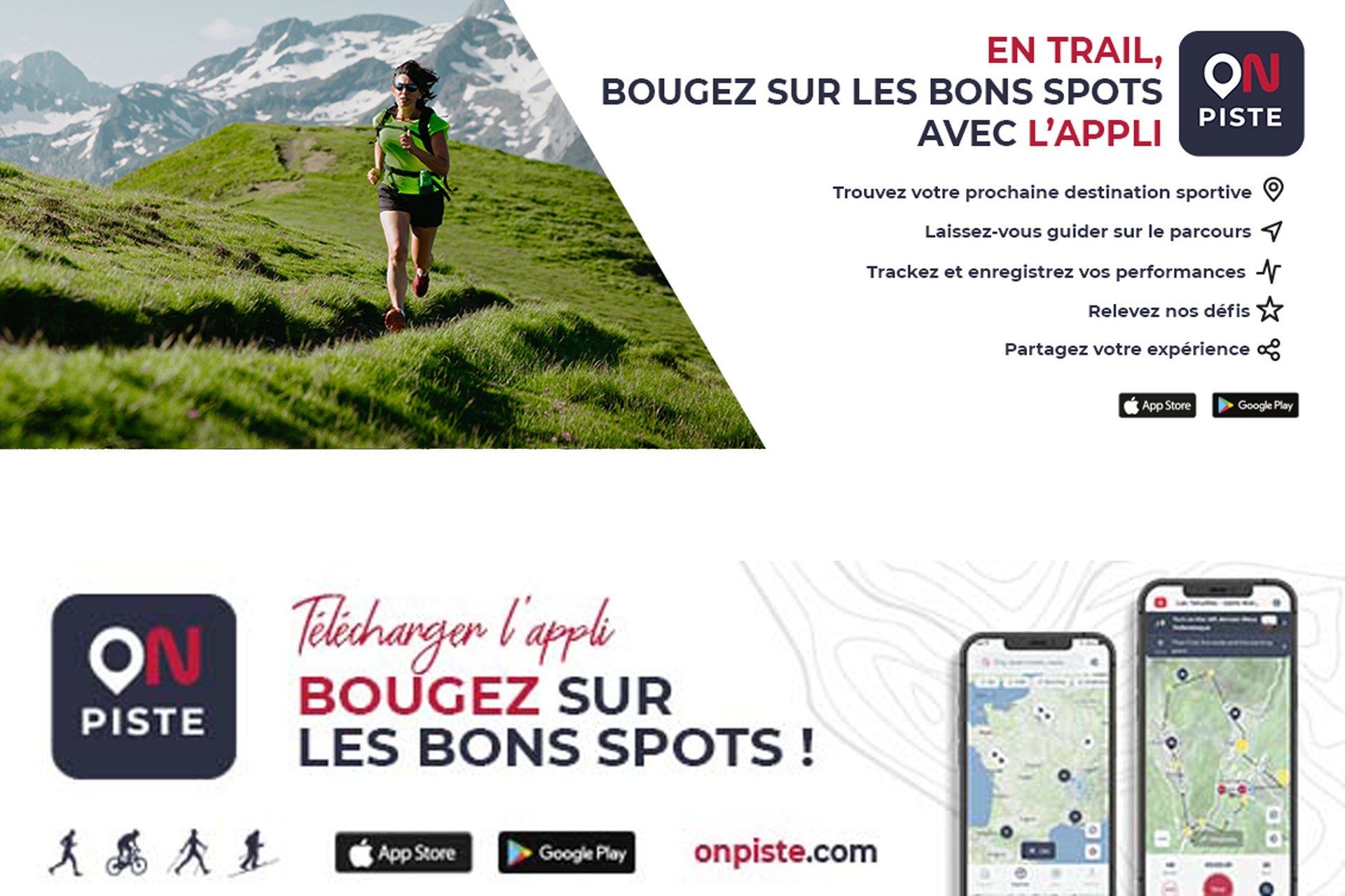
Good news: discover On Piste, an application but also a website to facilitate the preparation and organisation of your running trail outing or stay, and to find good addresses and events in Chamrousse and nearby!
Opening periodFrom 15/06 to 30/09.
Subject to favorable weather.
Subject to favorable weather.
Opening day(s)
From 15 June to 30 September(every year)
Every day
General informations
- Grouping by age (EN) :
- Grouping by age (EN)
Tarifs
Free access.
Itinéraire
 Departure/Arrival
 Point of interest
- Internal criteria :
- Chamrousse 1650
- Chamrousse 1750
- Chamrousse 2250
- Chamrousse 1600
We also suggest...


