Chamrousse mountain hikes

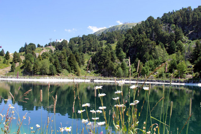
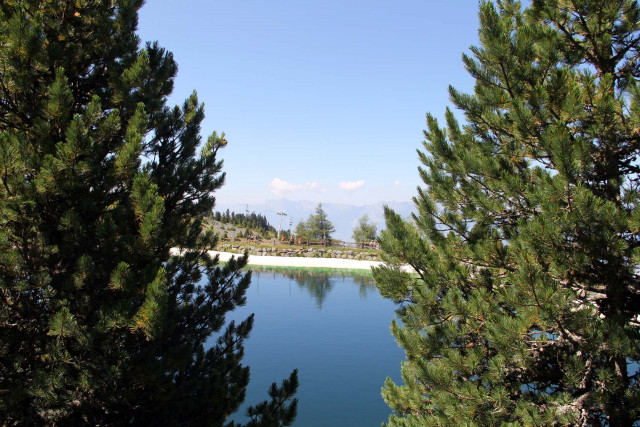
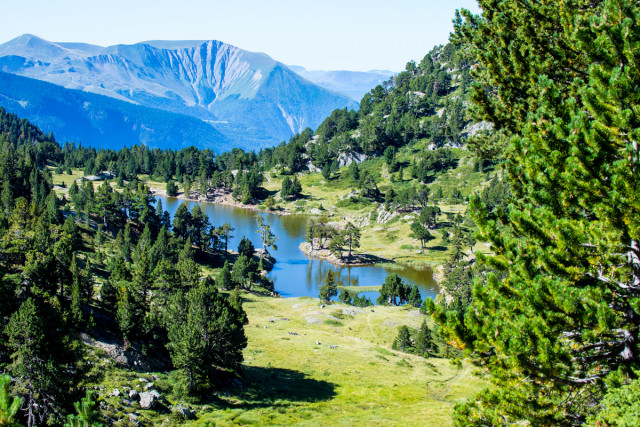
  • Chamrousse Vallons lake
  • Chamrousse Vallons lake
Chamrousse 1750 Baignade interdite
  • Route type :
    • Pedestrian
  • Difficulty :
    • Easy - green level
  • Walking time (round trip) :
    • until 1h30
  • Grouping by age (EN) :
    • Dedicated to families with children
    • Bus stop 500 m away
    • Shuttle stop 300 m away
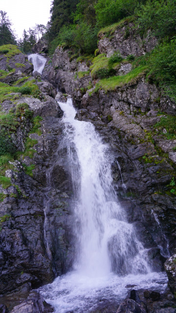
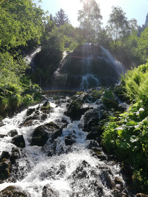
  • Oursière waterfall
  • Route type :
    • Pedestrian
  • Difficulty :
    • Difficult - red level
  • Walking time (round trip) :
    • by the day
    • Bus stop 500 m away
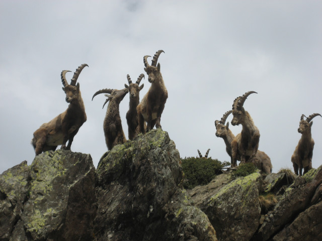
  • Ibexes
  • Route type :
    • Pedestrian
  • Difficulty :
    • Very difficult - black level
  • Walking time (round trip) :
    • by the day
    • Help for client/transport
  • Arselle summer walking path
  • Arselle walking path
  • Route type :
    • Pedestrian
  • Difficulty :
    • Easy - green level
  • Grouping by age (EN) :
    • Dedicated to families with children
  • Chamrousse Arselle plateau
Chamrousse 1650 Chamrousse 1600
  • Route type :
    • Pedestrian
  • Difficulty :
    • Easy - green level
  • Walking time (round trip) :
    • by the day
  • Grouping by age (EN) :
    • Dedicated to families with children
    • Bus stop 500 m away
    • Shuttle stop 300 m away
  • Summer resort walk
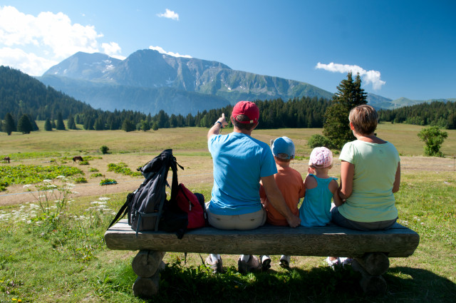
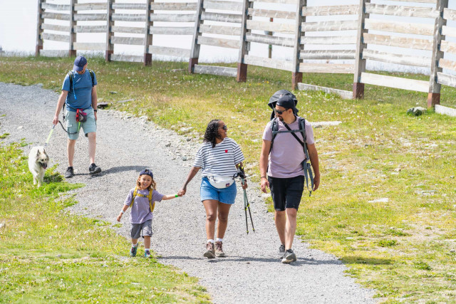
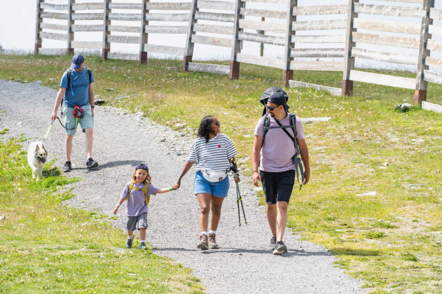
  • Family outings at the summit of the resort in summer
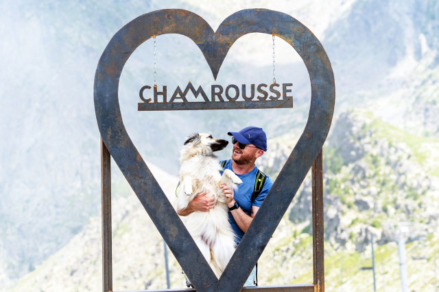
  • Selfie family walk resort summit in summer
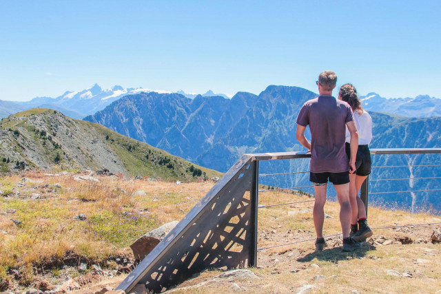
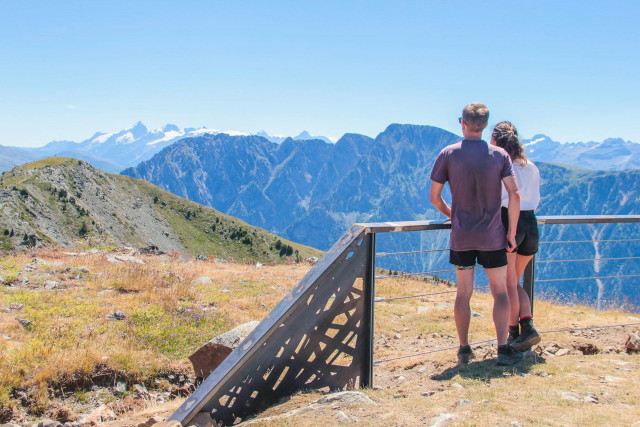
  • Croix de Chamrousse Oisans mountainlookout
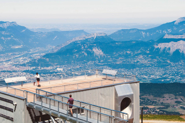
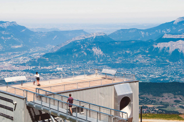
  • Croix de Chamrousse Grenoble city view rooftop
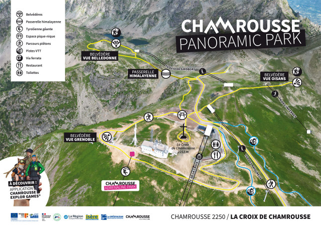
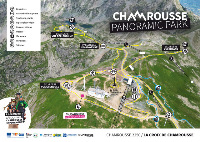
  • Summer resort summit walking map
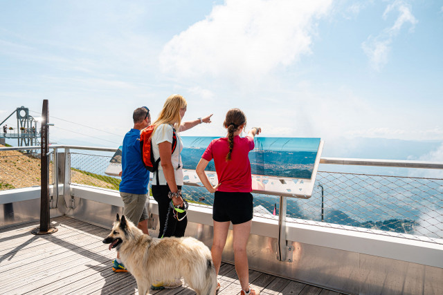
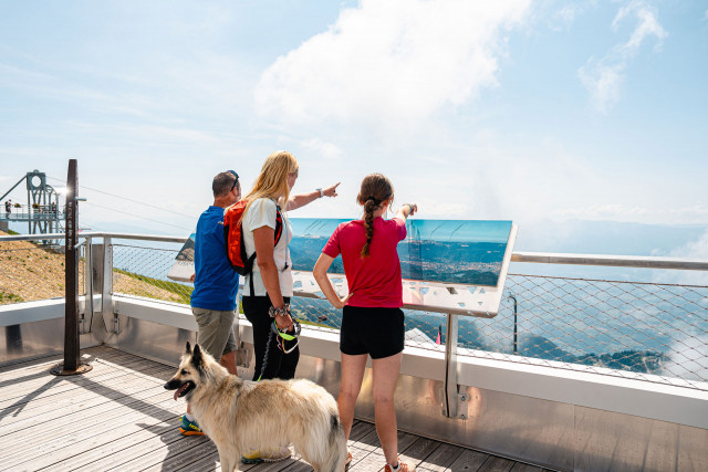
  • Panorma sign mountain walk summit resort summer
  • Croix de Chamrousse in summer
  • Route type :
    • Pedestrian
  • Difficulty :
    • Medium - blue level
  • Walking time (round trip) :
    • half day
  • Grouping by age (EN) :
    • Dedicated to families with children
    • Help for client/transport
  • Pourettes lake
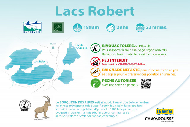
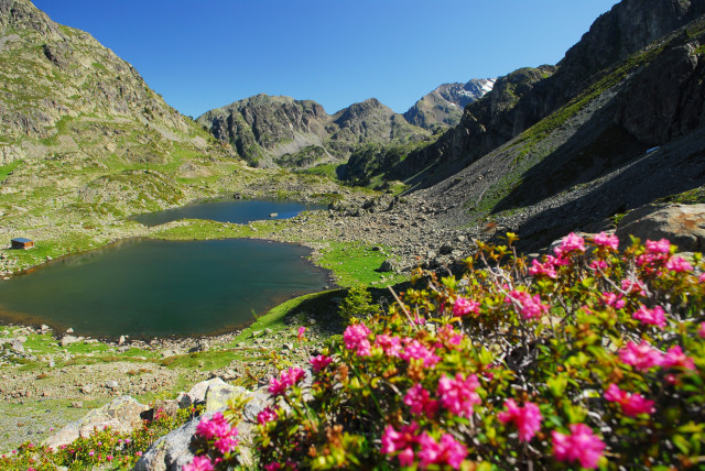
  • Lakes Robert
  • Route type :
    • Pedestrian
  • Difficulty :
    • Difficult - red level
  • Walking time (round trip) :
    • half day
    • by the day
    • Bus stop 500 m away
    • Shuttle stop 300 m away
  • Lake Pourettes
  • Route type :
    • Pedestrian
  • Difficulty :
    • Difficult - red level
  • Walking time (round trip) :
    • half day
    • Bus stop 500 m away
    • Shuttle stop 300 m away
  • Daffodils
Chamrousse 1650
  • Route type :
    • Pedestrian
  • Difficulty :
    • Difficult - red level
  • Walking time (round trip) :
    • until 1h30
    • half day
    • Bus stop 500 m away
    • Shuttle stop 300 m away
  • Sentier de liaison
  • Plateau de l'Arselle
  • Arselle Plateau
  • Arselle Plateau path
  • Route type :
    • Pedestrian
  • Difficulty :
    • Easy - green level
  • Grouping by age (EN) :
    • Dedicated to families with children
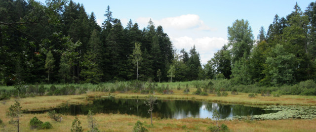
  • Le Lac Luitel et sa tourbière
  • Vue dégagée sur le Vercors en descendant sur Vizille
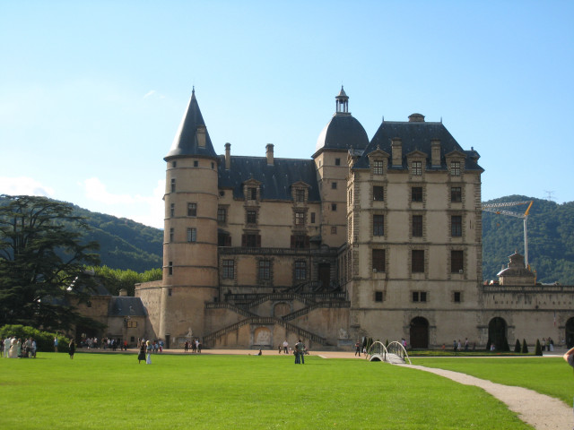
  • Le Château de Vizille
  • Route type :
    • Pedestrian
  • Difficulty :
    • Difficult - red level
    • Bus stop 500 m away
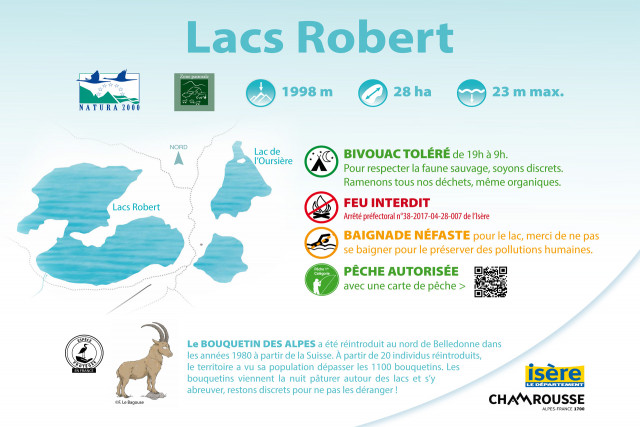
  • Chamrousse lacs Robert hiking
  • Chamrousse lakes Robert hike
  • Route type :
    • Pedestrian
  • Difficulty :
    • Difficult - red level
  • Walking time (round trip) :
    • half day
    • Help for client/transport
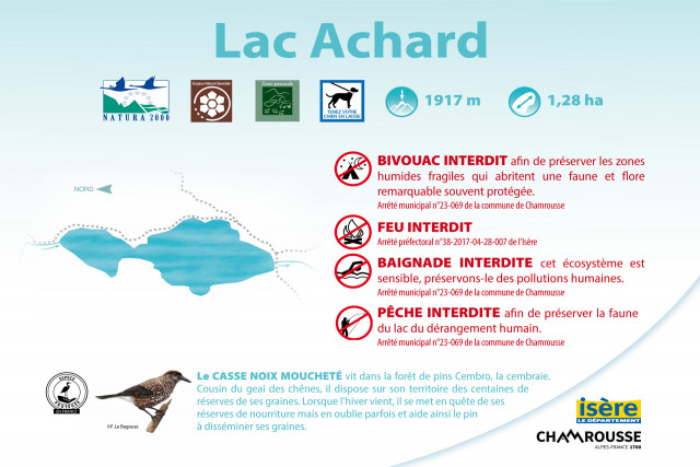
  • Achard lake
  • Robert lakes
  • Pourettes lake
Chamrousse 1650 Chamrousse 1750
  • Route type :
    • Pedestrian
  • Difficulty :
    • Very difficult - black level
  • Walking time (round trip) :
    • by the day
    • Bus stop 500 m away
    • Shuttle stop 300 m away
  • Plateau de l'Arselle à Chamrousse
Chamrousse 1650 Chamrousse 1750
  • Route type :
    • Pedestrian
  • Difficulty :
    • Medium - blue level
  • Walking time (one way) :
    • 2 days or more / travelling
  • GR738 loop
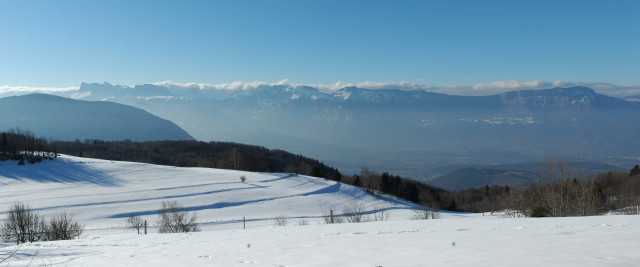
  • Grenoble valley view
  • GR738 path
  • Route type :
    • Pedestrian
  • Difficulty :
    • Difficult - red level
  • Walking time (round trip) :
    • by the day
    • Bus stop 500 m away
    • Shuttle stop 300 m away
  • GR738 hike
  • Route type :
    • Pedestrian
  • Difficulty :
    • Very difficult - black level
  • Walking time (one way) :
    • 2 days or more / travelling
    • Bus stop 500 m away
    • Shuttle stop 300 m away
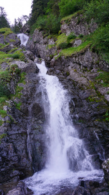
  • Oursière waterfall
  • The Oursière's cascade
  • Oursière's cascade
  • Route type :
    • Pedestrian
  • Difficulty :
    • Very difficult - black level
    • Help for client/transport
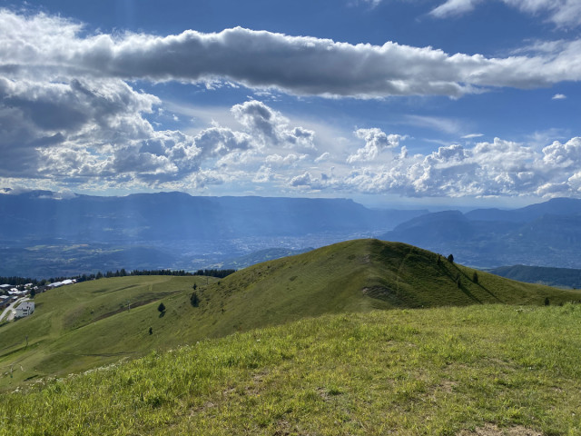
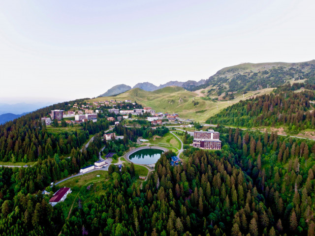
  • Panoramic view from the top of Chamrousse resort
  • Route type :
    • Pedestrian
  • Difficulty :
    • Difficult - red level
  • Walking time (round trip) :
    • by the day
    • Bus stop 500 m away
    • Shuttle stop 300 m away
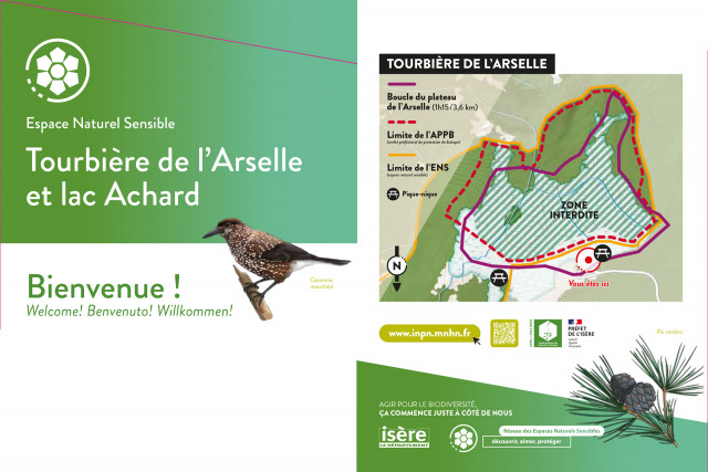
  • Chamrousse Achard lake
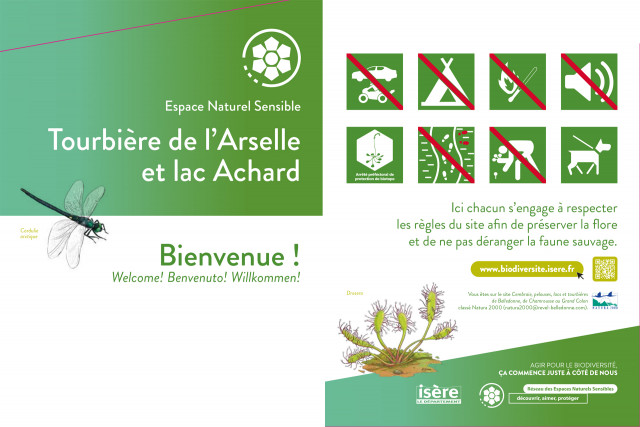
  • Chamrousse Arselle peat bog and Achard lake
  • Chamrousse Arselle peat bog and Achard lake
  • Route type :
    • Pedestrian
  • Difficulty :
    • Difficult - red level
  • Walking time (round trip) :
    • half day
    • Bus stop 500 m away
    • Shuttle stop 300 m away
  • Sign at the top of the Croix de Chamrousse summer resort
  • Family outings at the top of Chamrousse resort in summer
  • Family outing at the summit of Chamrousse resort in summer
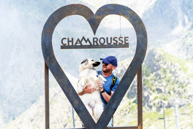
  • Photo spot family dog walk Chamrousse resort summer
  • Croix de Chamrousse Oisans lookout
  • Croix de Chamrousse Grenoble rooftop
    • New summer
    • Help for client/transport
  • La Pra
  • Shelter of La Pra
  • Route type :
    • Pedestrian
  • Difficulty :
    • Very difficult - black level
  • Walking time (one way) :
    • 2 days or more / travelling
    • Help for client/transport
  • Recoin-Roche walking path
  • Pathway 1650-1750
  • Route type :
    • Pedestrian
  • Difficulty :
    • Easy - green level
  • Grouping by age (EN) :
    • Dedicated to families with children
    • Bus stop 500 m away
    • Shuttle stop 300 m away
  • Arselle plateau in family
  • Chamrousse Arselle peat bog and Achard lake
  • Chamrousse Arselle peat bog and Achard lake
  • Route type :
    • Pedestrian
  • Difficulty :
    • Easy - green level
  • Walking time (round trip) :
    • until 1h30
  • Grouping by age (EN) :
    • Dedicated to families with children
    • Bus stop 500 m away
    • Shuttle stop 300 m away
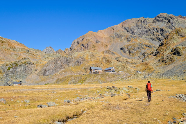
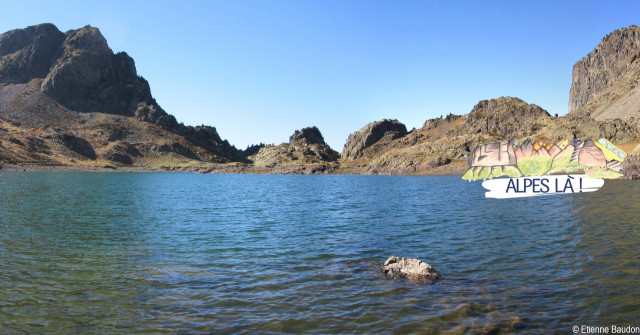
  • Chamrousse Robert lakes
  • Chamrousse lakes Robert hike
  • Route type :
    • Pedestrian
  • Difficulty :
    • Difficult - red level
  • Walking time (round trip) :
    • half day
    • Help for client/transport