Hiking in the Belledonne with the Geonautrices
Saturday 15 June 2024
10:00 to 15:00
Event Organizer
Columbia Sportswear Europe SAS
Location
Chamrousse 1750
38410
Chamrousse
- Location :
- Chamrousse 1750 – Roche Béranger
Presentation
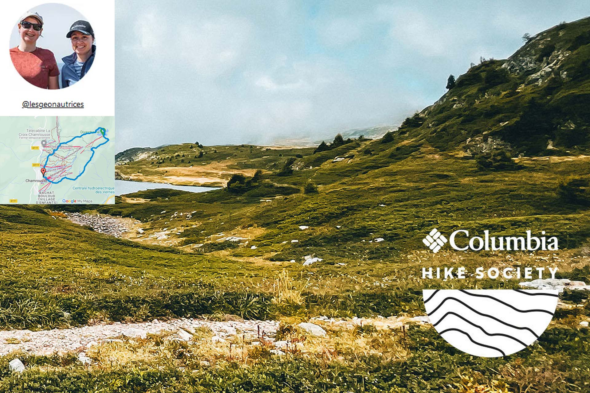
Enora and Candie, founders of Géonautrices, share a passion for hiking. After exploring many trails, they created a program to help women gain confidence and independence on the trail.
Chamrousse lakes hike -Belledonne
Distance: 10km / Difference in altitude: 500m / Level: Beginner
MEETING POINT: route de la croisette, Chamrousse 1750 - Roche Béranger.
On the outskirts of Chamrousse, let yourself be seduced by a hike to Achard and Robert lakes. Between the majestic peaks of the Belledonne massif, discover the tranquility of emerald waters and winding paths. An epic journey into the heart of nature.
List of essentials :
- A good pair of shoes
- Sunglasses
- Sun cream
- Picnic
- Plenty of water
- Light jacket
#columbiahikesociety
Opening periodSaturday 15 June 2024 between 10 am and 3 pm.
FICHE_INFO_SIMPLE_LIBELLE_DESTINATION
Chamrousse 1750
38410
Chamrousse
GPS coordinates
Latitude : 45.112192
Longitude : 5.878801
We also suggest...
Chamrousse 1650 Chamrousse 1750
-
Route type :
-
Difficulty :
-
Walking time (round trip) :
- by the day
-
- Bus stop 500 m away
- Shuttle stop 300 m away


