Belledonne mountains
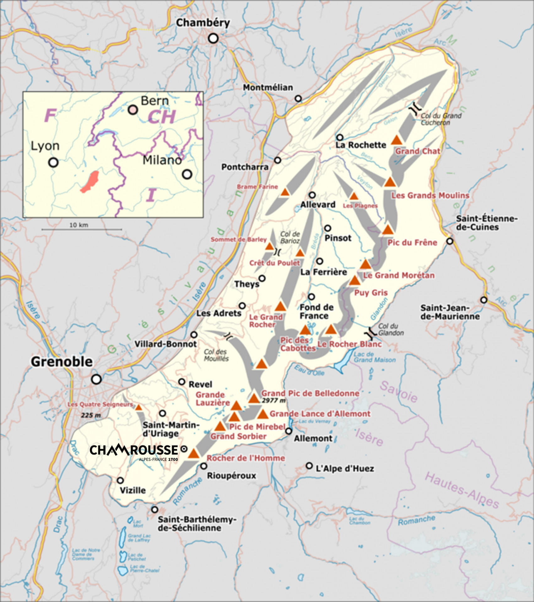
Belledonne is a mountain range that stretches 70 km long (and 20 km wide), between the departments of Isère and Savoie. The resort of Chamrousse is located at the southern end of the massif. Its highest peak, the "Grand Pic de Belledonne" reaches an altitude of 2,977 metres.The Belledonne massif is surrounded by the Isère, the "Chartreuse" (wide Grésivaudan valley), the "Bauges" (combe de Savoie), the "Vanoise", the "Arves" and the "Grandes Rousses". Finally, at the southern end, on the other side of the "Romanche" (lower Oisans valley), rises the "Taillefer" massif. Belledonne therefore extends (from south to north) from the "Romanche" valley to the "Pas de la Coche", with the "Grand Pic de Belledonne" as its highest point.
To find out more about the Belledonne area, visit the "Espace Belledonne" website (caution only in French).
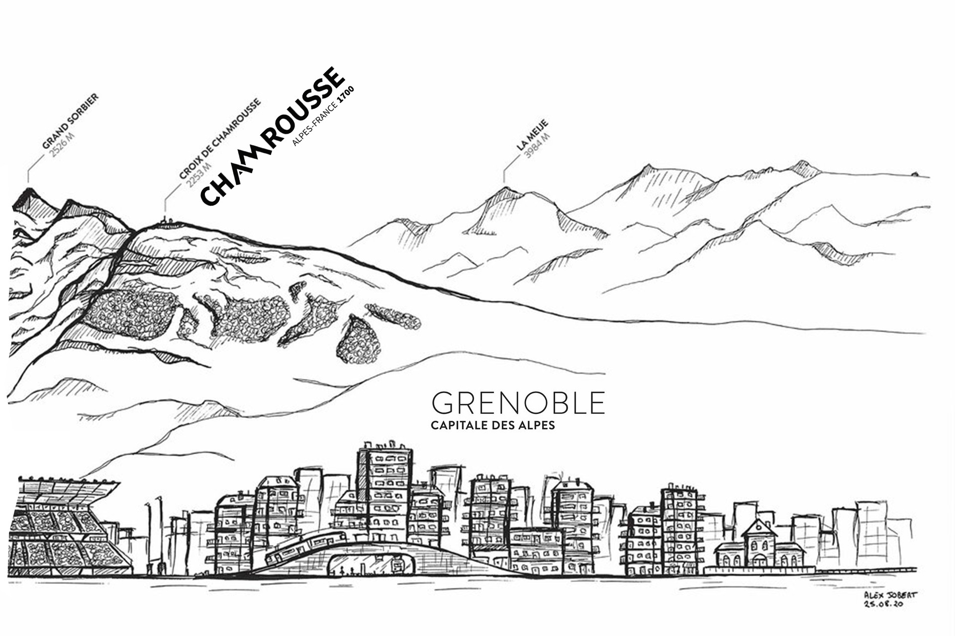
Belledonne, in summer as well as in winter, with its majestic peaks is the natural backdrop to the two largest cities in the French Alps (Grenoble and Chambéry). The resort of Chamrousse is easily visible and identifiable from Grenoble, with its weather building at the Croix de Chamrousse.
It is also a new long-distance hiking trail (GR®), nearly 130 kilometres long and with 11 stages, the GR® 738 runs from the Savoie department to the Isère department, of which Chamrousse is the penultimate stage (or the second in the opposite direction). It crosses the chain of the same name with a central ridge line oscillating between 2,500 and 2,977 metres in altitude, the "Haute Traversée de Belledonne" GR® is much more than a hike, it is an adventure!
More information on the "Haute Traversée de Belledonne GR® 738" website (caution only in French).
In addition to the ski resort of Chamrousse, there are 4 other mountain resorts and a thermal spa resort on the Belledonne massif: "7 Laux", "Collet d'Allevard", "Barioz" and "Allevard".
More information on the website of the "Belledonne - Chartreuse" Tourist Office.


