Hikes in Chamrousse 1650 - Recoin

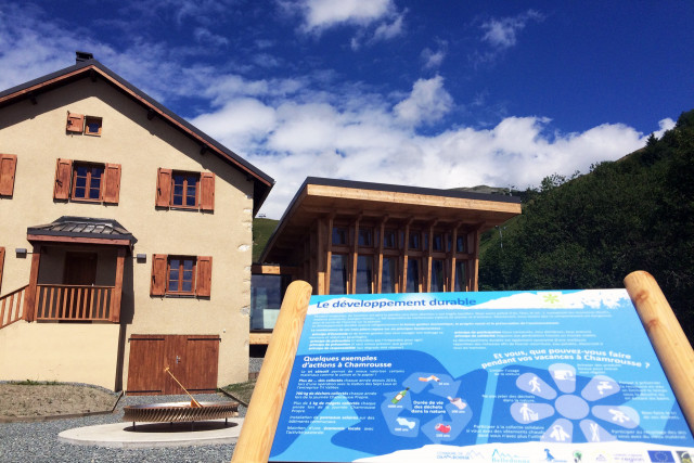
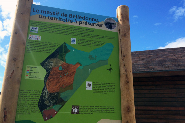
  • Chamrousse outdoor exhibition panel environment centre
  • Chamrousse outdoor exhibition panel environment centre
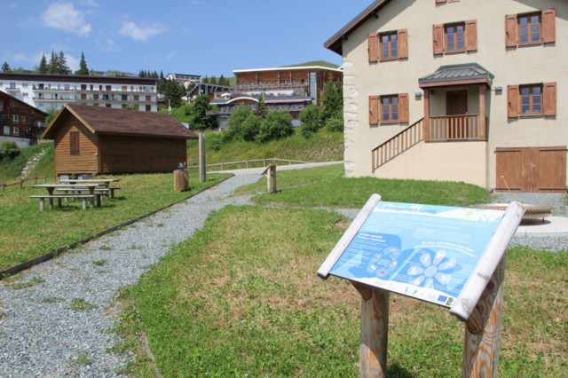
  • Chamrousse educational exhibition track
  • Leader financing
  • photo-prestataire
Chamrousse 1650
    • Free
    • Bus stop 500 m away
    • Shuttle stop 300 m away
  • Recoin-Roche walking path
  • Pathway 1650-1750
  • Route type :
    • Pedestrian
  • Difficulty :
    • Easy - green level
  • Grouping by age (EN) :
    • Dedicated to families with children
    • Bus stop 500 m away
    • Shuttle stop 300 m away
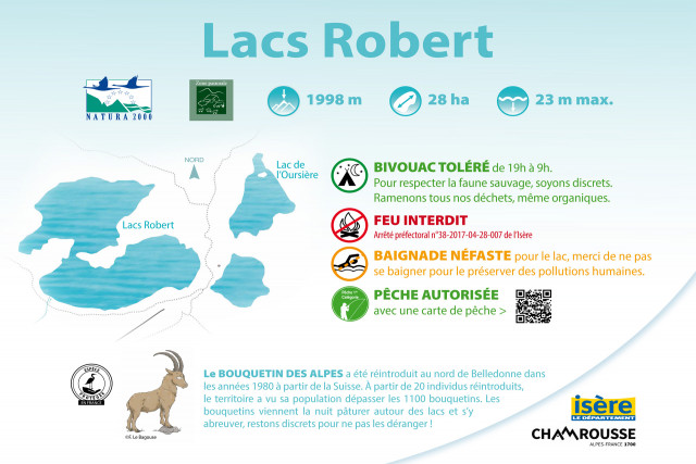
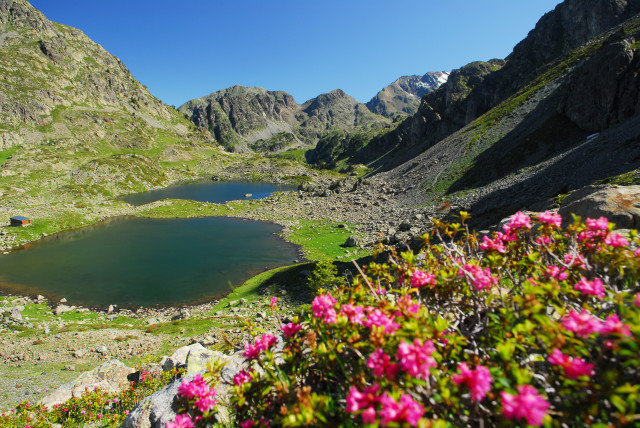
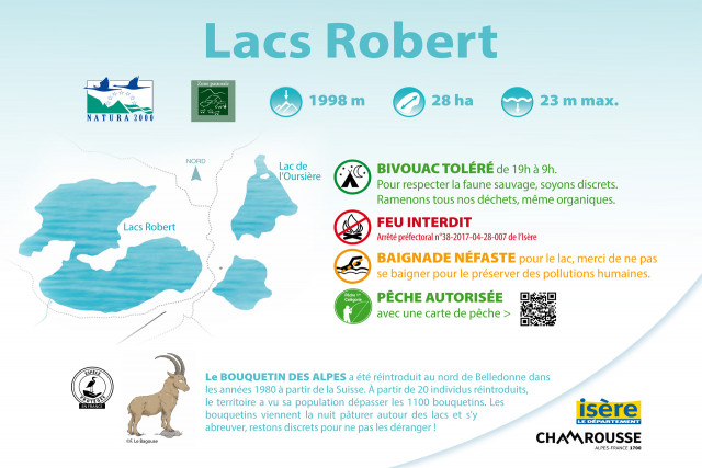
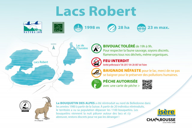
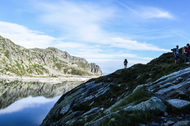
  • Lakes Robert
  • Route type :
    • Pedestrian
  • Difficulty :
    • Difficult - red level
  • Walking time (round trip) :
    • half day
    • by the day
    • Bus stop 500 m away
    • Shuttle stop 300 m away
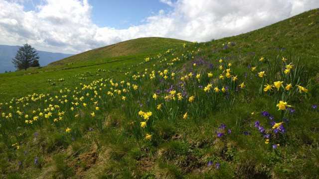
  • Daffodils
Chamrousse 1650
  • Route type :
    • Pedestrian
  • Difficulty :
    • Difficult - red level
  • Walking time (round trip) :
    • until 1h30
    • half day
  • Grouping by age (EN) :
    • Dedicated to families with children
    • Bus stop 500 m away
    • Shuttle stop 300 m away
  • Chamrousse Arselle plateau
Chamrousse 1650 Chamrousse 1600
  • Route type :
    • Pedestrian
  • Difficulty :
    • Easy - green level
  • Walking time (round trip) :
    • by the day
  • Grouping by age (EN) :
    • Dedicated to families with children
    • Bus stop 500 m away
    • Shuttle stop 300 m away
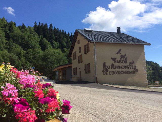
  • Chamrousse Environment centre
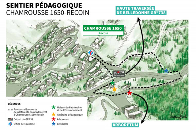
  • Chamrousse educational path
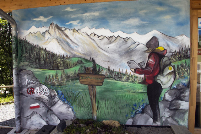
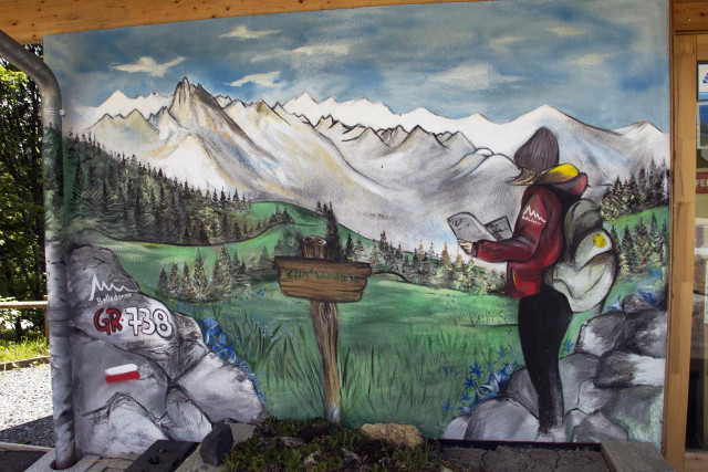
  • Painting on the facade of the house of the environment of Chamrousse
Chamrousse 1650
    • Free
    • Shuttle stop 300 m away
  • Chamrousse Aiguille
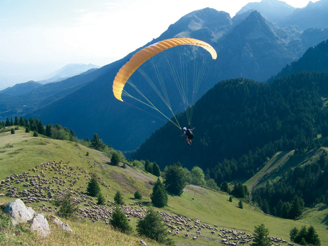
  • Paraglading in the Aiguille
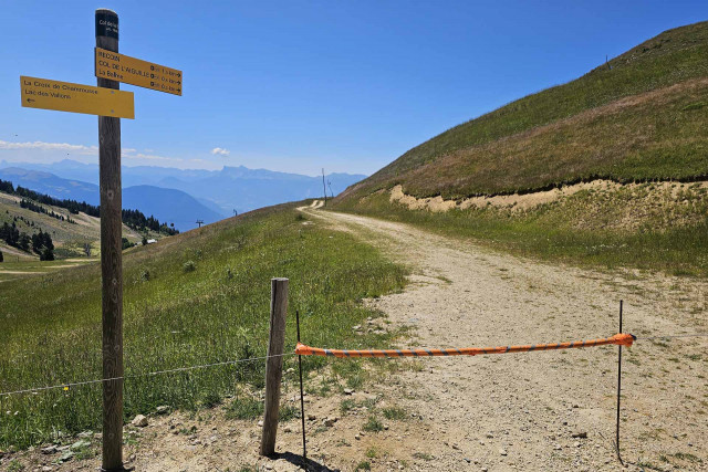
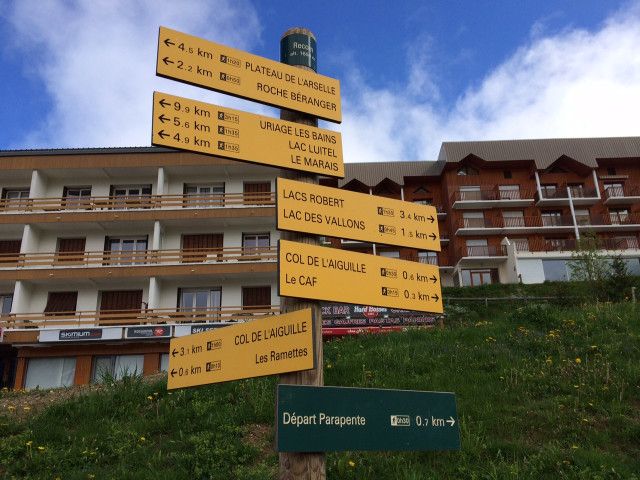
  • Chamrousse signs trail
  • Chamrousse photo panel Casserousse
  • Route type :
    • Pedestrian
  • Difficulty :
    • Medium - blue level
  • Walking time (round trip) :
    • until 1h30
  • Grouping by age (EN) :
    • Dedicated to families with children
    • Bus stop 500 m away
    • Shuttle stop 300 m away
  • GR738 hike
  • Route type :
    • Pedestrian
  • Difficulty :
    • Very difficult - black level
  • Walking time (one way) :
    • 2 days or more / travelling
    • Bus stop 500 m away
    • Shuttle stop 300 m away
  • GR738 loop
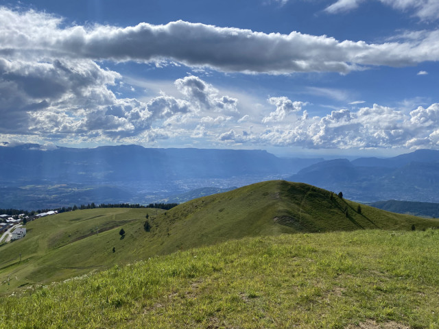
  • Grenoble valley view
  • GR738 path
  • Route type :
    • Pedestrian
  • Difficulty :
    • Difficult - red level
  • Walking time (round trip) :
    • by the day
    • Bus stop 500 m away
    • Shuttle stop 300 m away
  • Lake Pourettes
  • Route type :
    • Pedestrian
  • Difficulty :
    • Difficult - red level
  • Walking time (round trip) :
    • half day
    • Bus stop 500 m away
    • Shuttle stop 300 m away
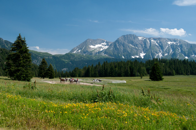
  • Plateau de l'Arselle à Chamrousse
Chamrousse 1650 Chamrousse 1750
  • Route type :
    • Pedestrian
  • Difficulty :
    • Medium - blue level
  • Walking time (one way) :
    • 2 days or more / travelling
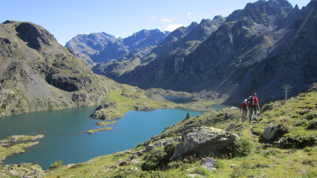
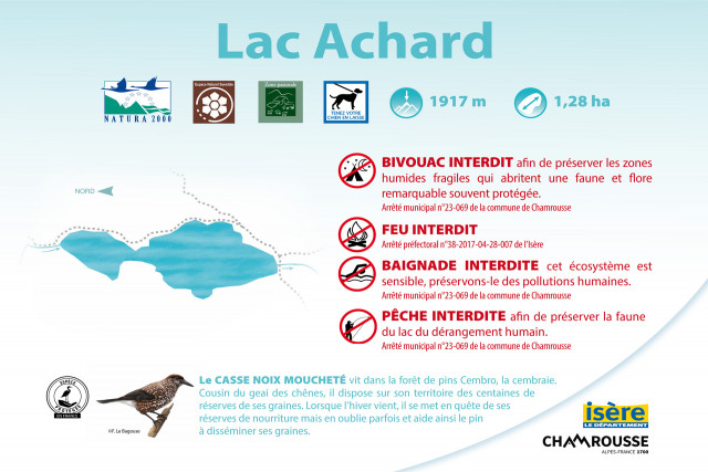
  • Achard lake
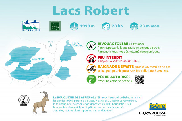
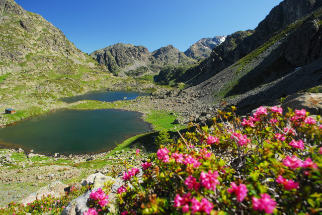
  • Robert lakes
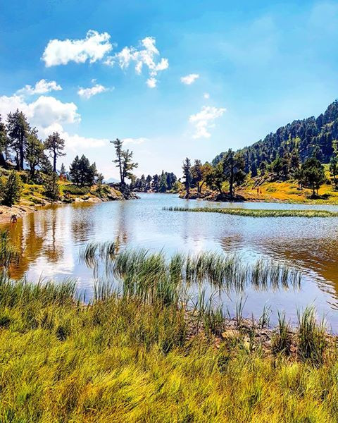
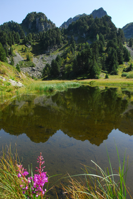
  • Pourettes lake
Chamrousse 1650 Chamrousse 1750
  • Route type :
    • Pedestrian
  • Difficulty :
    • Very difficult - black level
  • Walking time (round trip) :
    • by the day
    • Bus stop 500 m away
    • Shuttle stop 300 m away
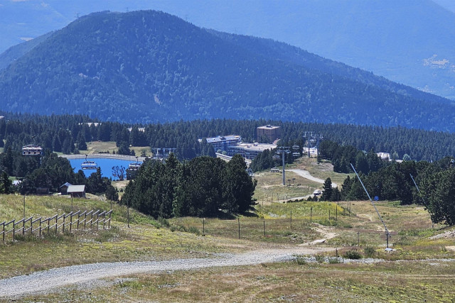
  • The Arselle's plateau in summer
  • Route type :
    • Pedestrian
  • Difficulty :
    • Easy - green level
  • Grouping by age (EN) :
    • Dedicated to families with children
    • Bus stop 500 m away
    • Shuttle stop 300 m away
  • Pourettes lake
  • Lakes Robert
  • Route type :
    • Pedestrian
  • Difficulty :
    • Difficult - red level
  • Walking time (round trip) :
    • half day
    • by the day
    • Bus stop 500 m away
    • Shuttle stop 300 m away
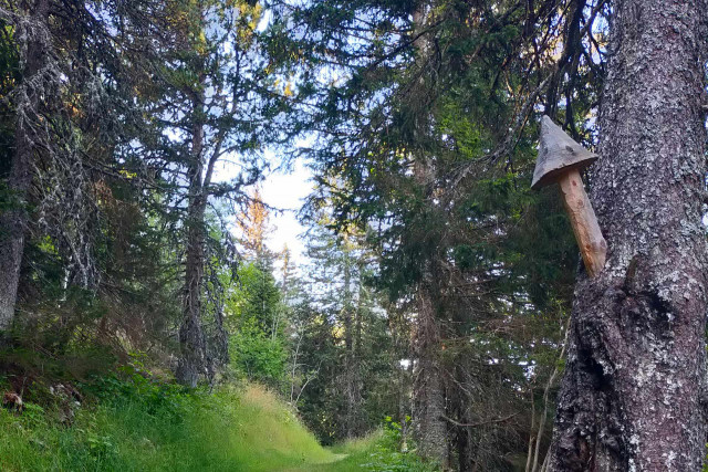
  • Fox trail Chamrousse 1650-1750
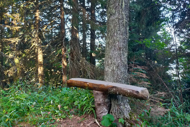
  • Carved bench on the fox trail Chamrousse 1650-1750
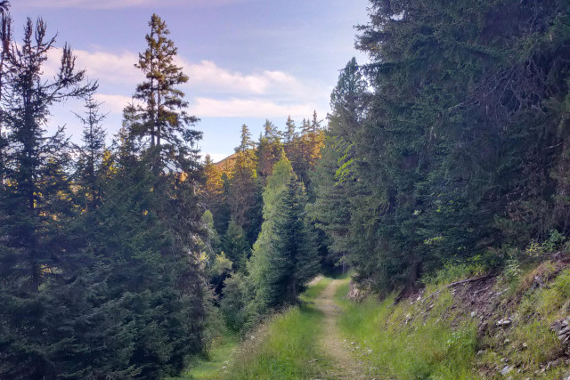
  • Fox trail Chamrousse 1650-1750
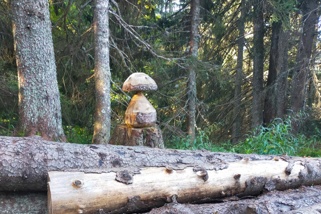
  • Carved mushroom on the fox trail Chamrousse 1650-1750
  • Arrival Fox trail Chamrousse 1650-1750
Chamrousse 1650 Chamrousse 1750
  • Route type :
    • Pedestrian
    • Thematic trail / Treasure hunt
  • Difficulty :
    • Easy - green level
    • Bus stop 500 m away
    • Shuttle stop 300 m away