Croix of Chamrousse historic site
Contact
Croix of Chamrousse historic site
Chamrousse 2250
38410
Chamrousse
- Spoken language(s) :
- French
Presentation
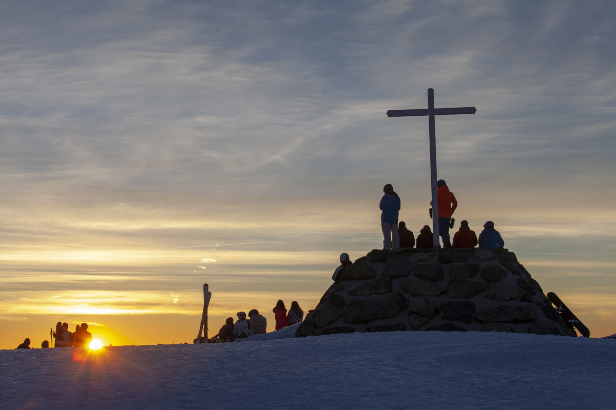
The history of Chamrousse does not begin with the creation of the ski resort in the 1950s. The current site of the Croix de Chamrousse was frequented by the Romans at the beginning of our era.
But it is in the Middle Ages that the name of Chamrousse is mentioned for the first time: in 1260 an act of donation delivered the slopes of Chamrousse to the nuns of the Chartreuse de Prémol.
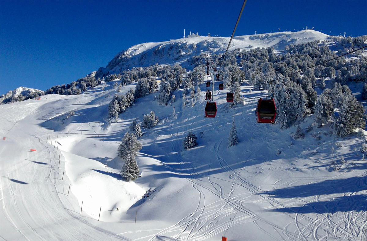
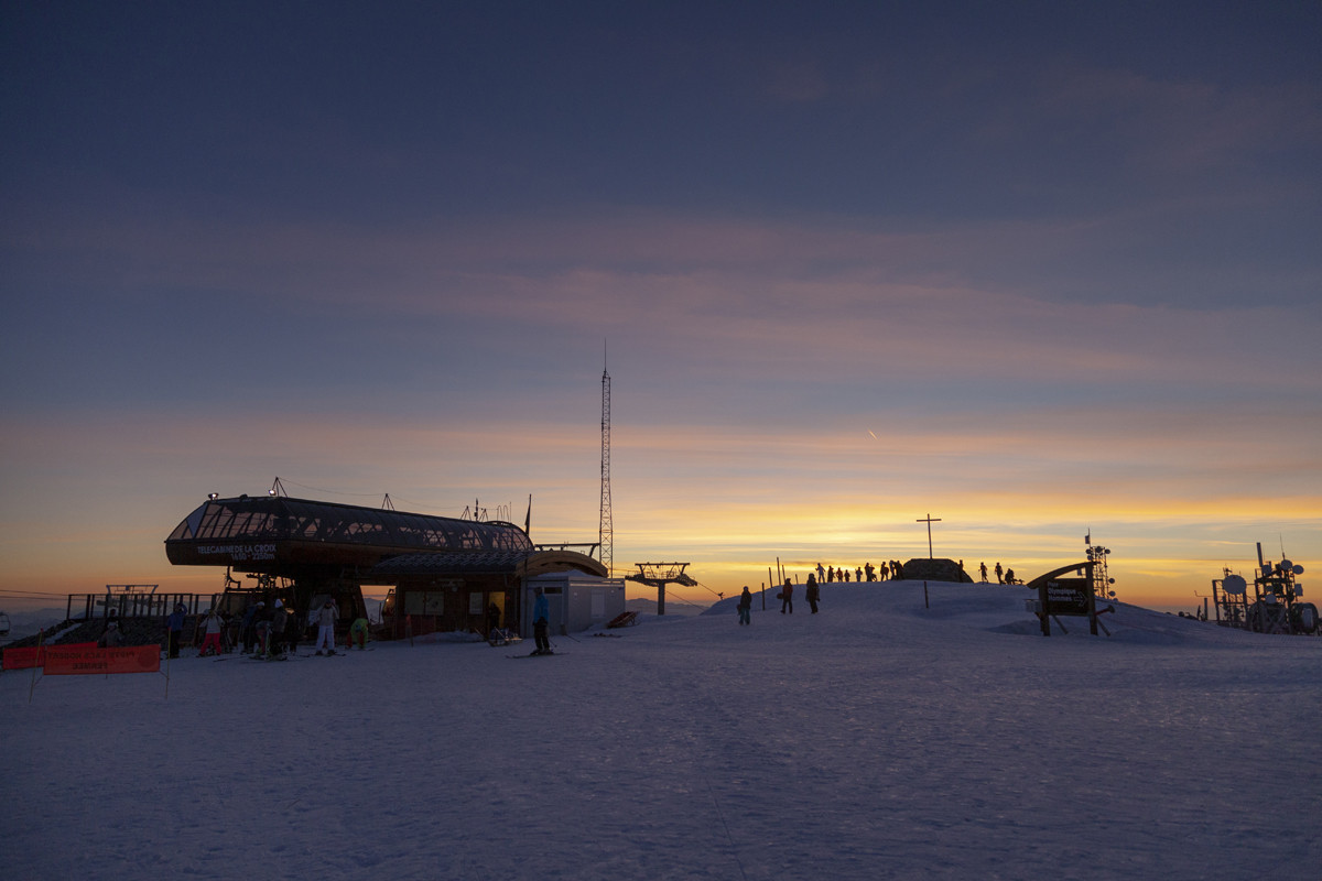
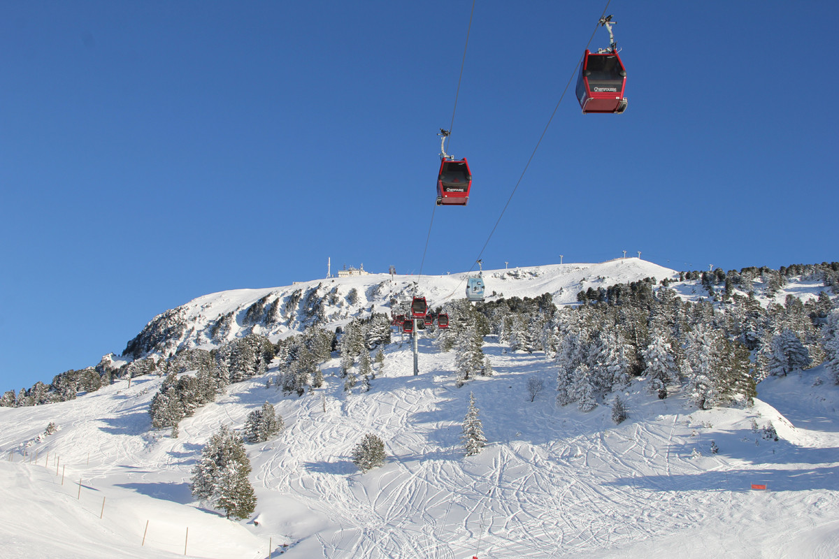
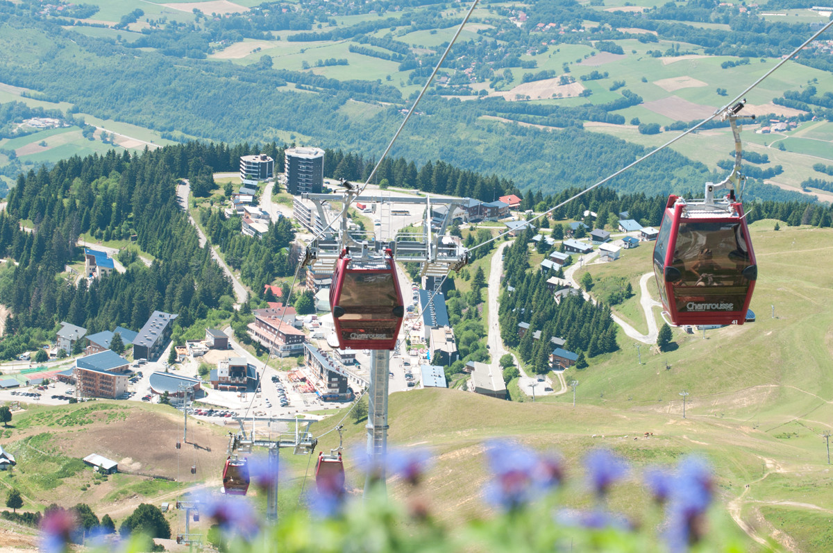
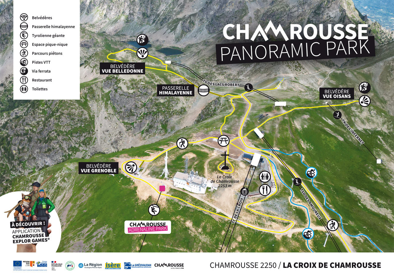
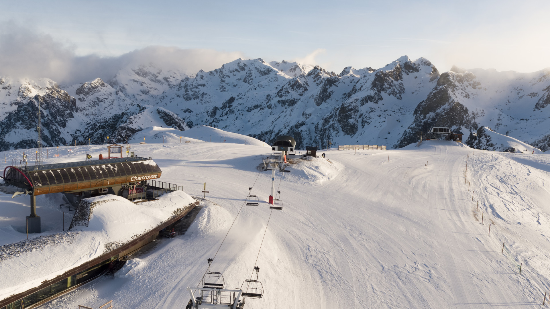
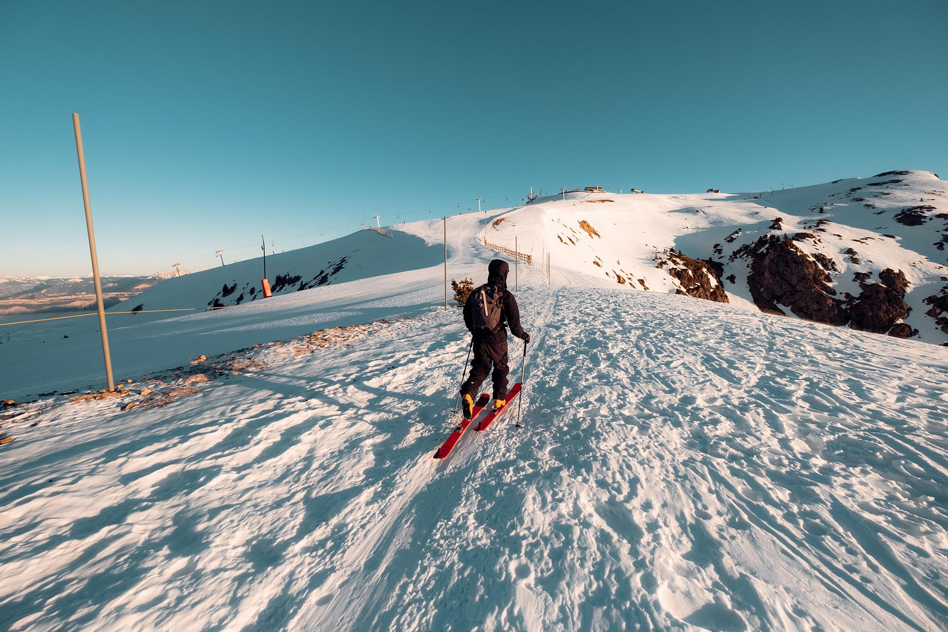
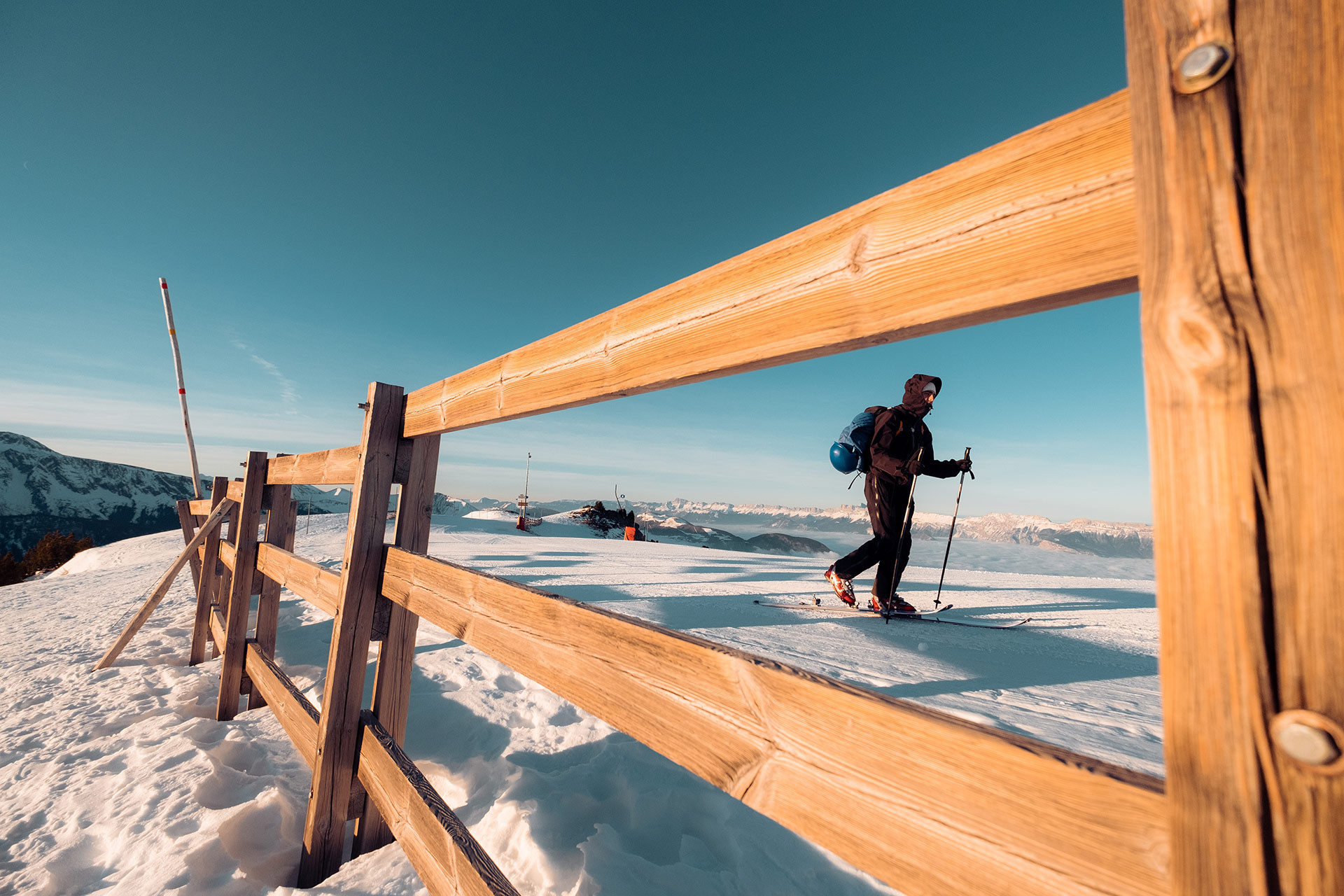
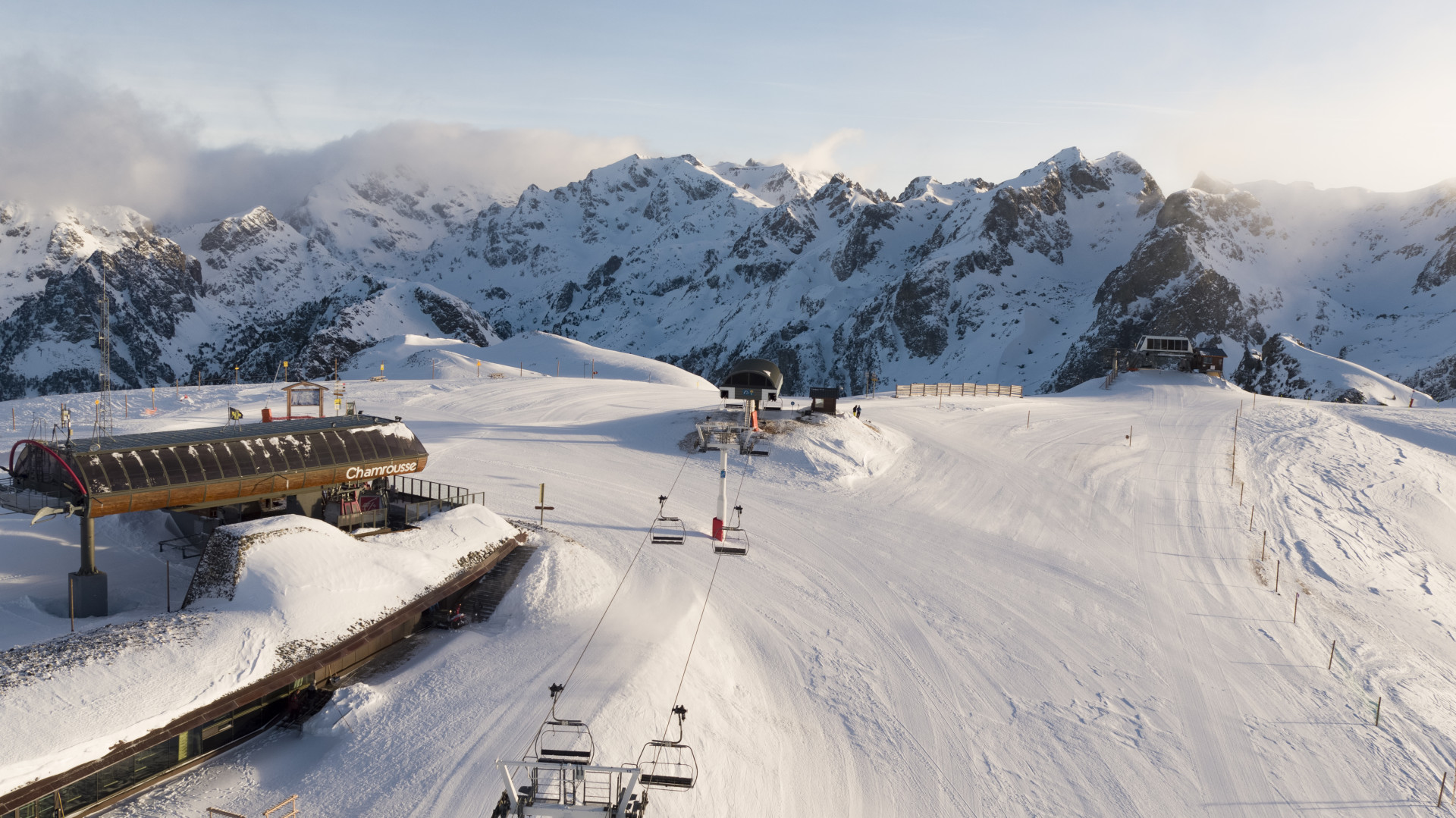
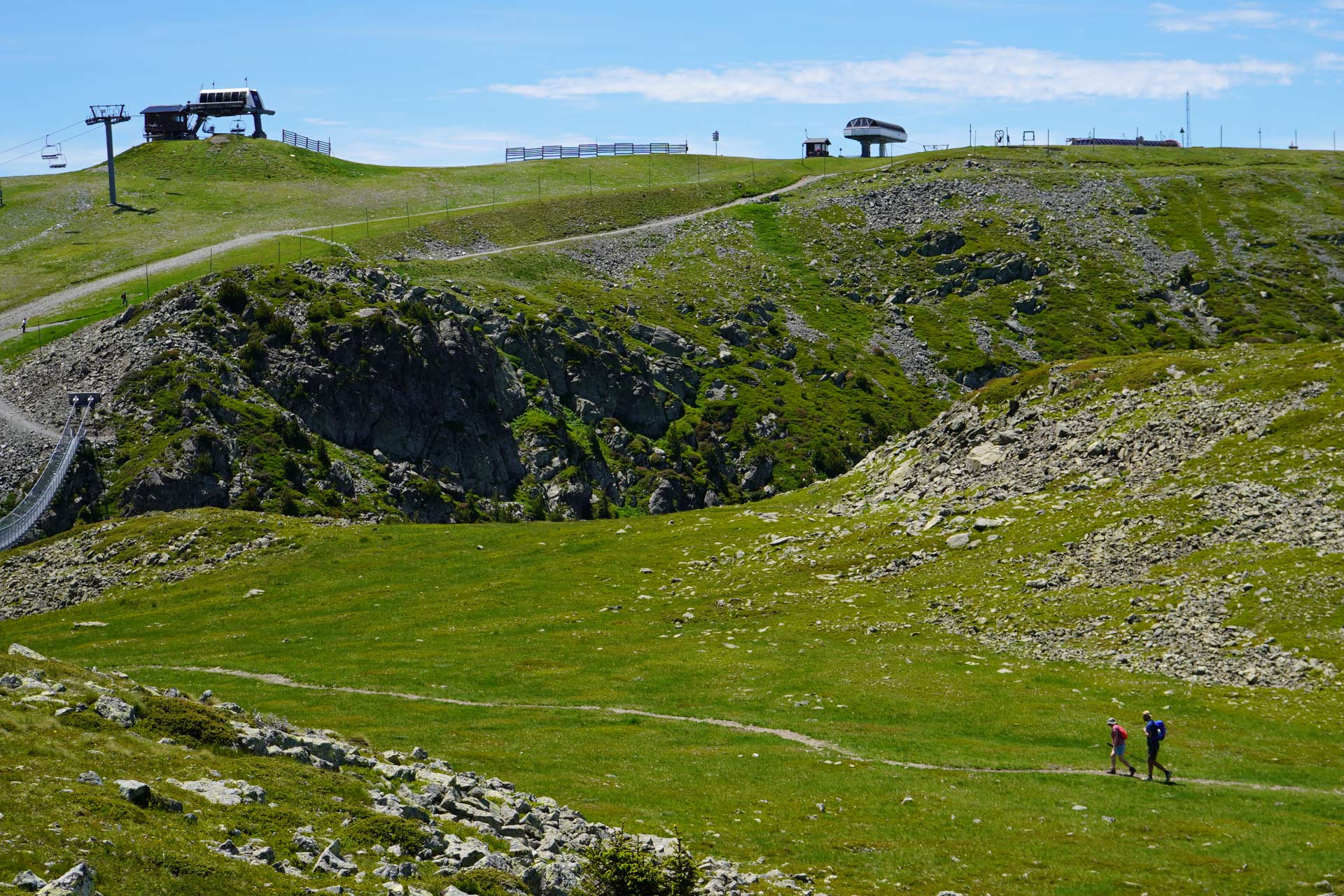
This site at the top of the resort is accessible in winter and summer via the cable car of the Cross or on foot in all seasons and snowshoes, ski touring from Chamrousse 1750 or 1650.
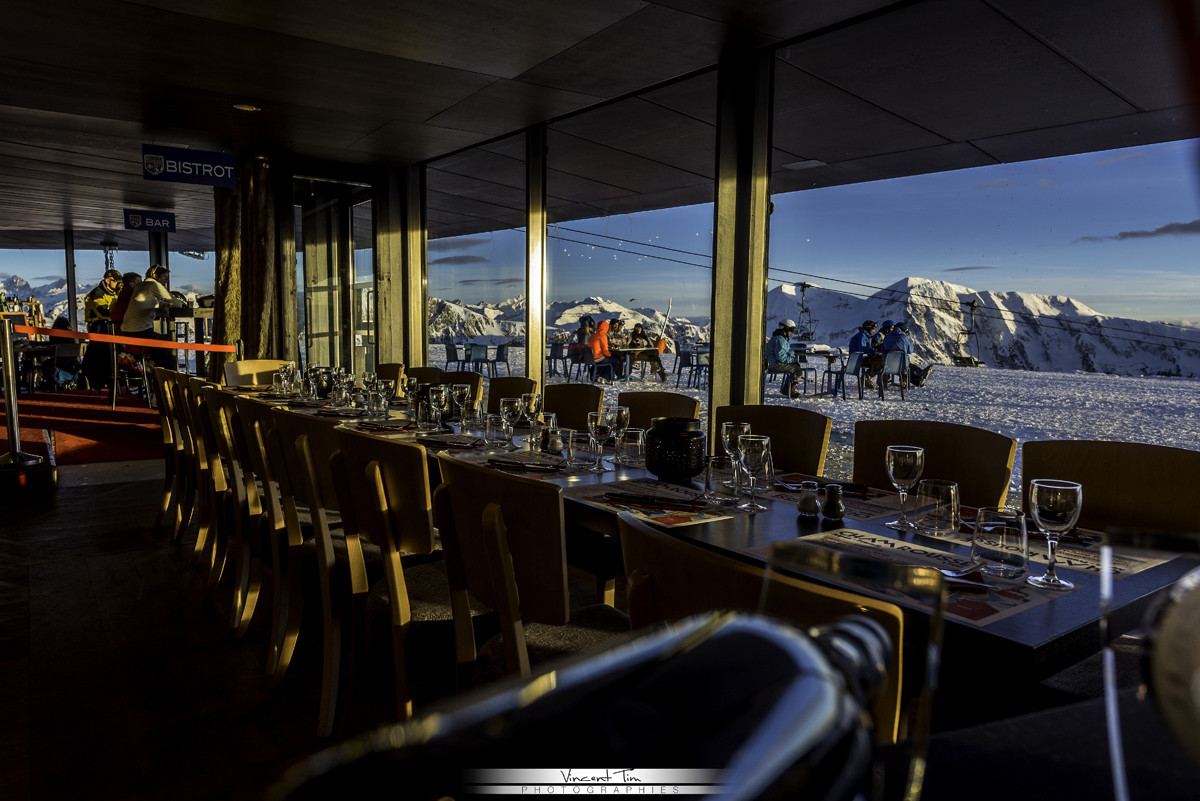
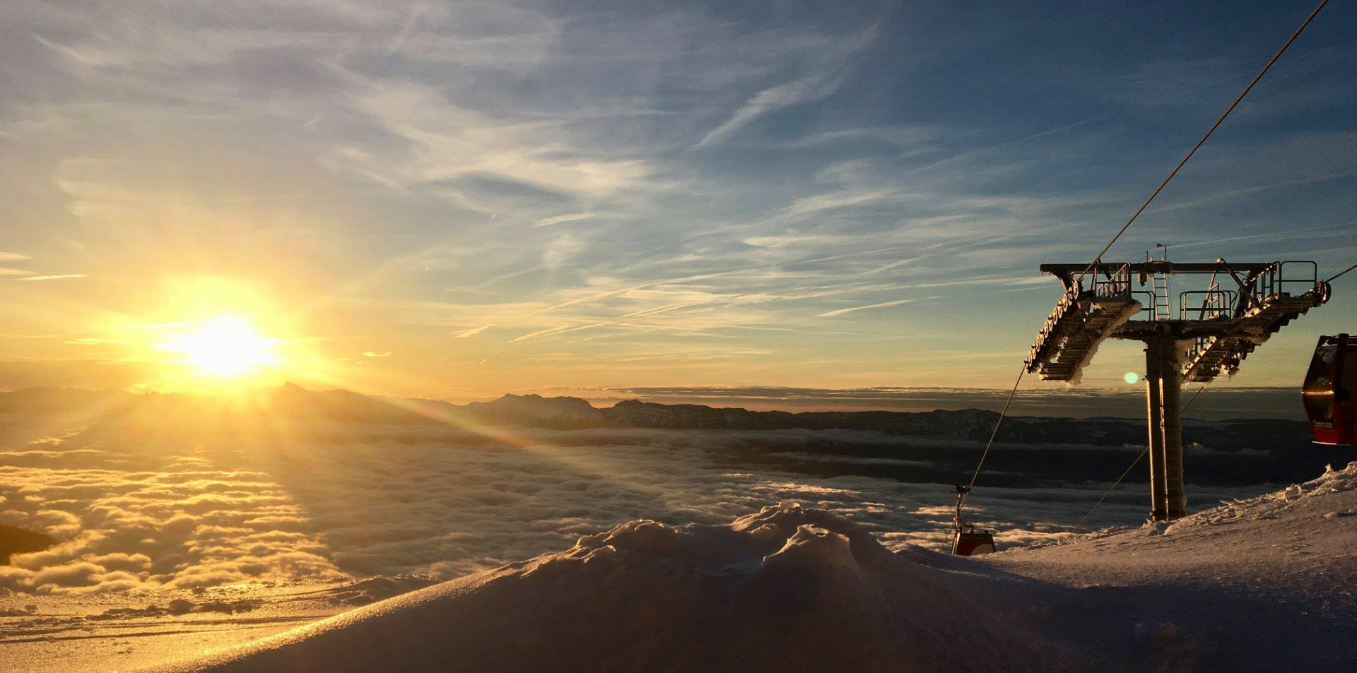
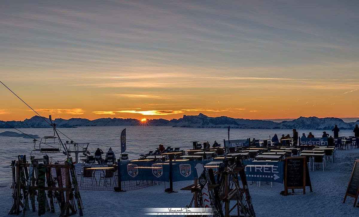
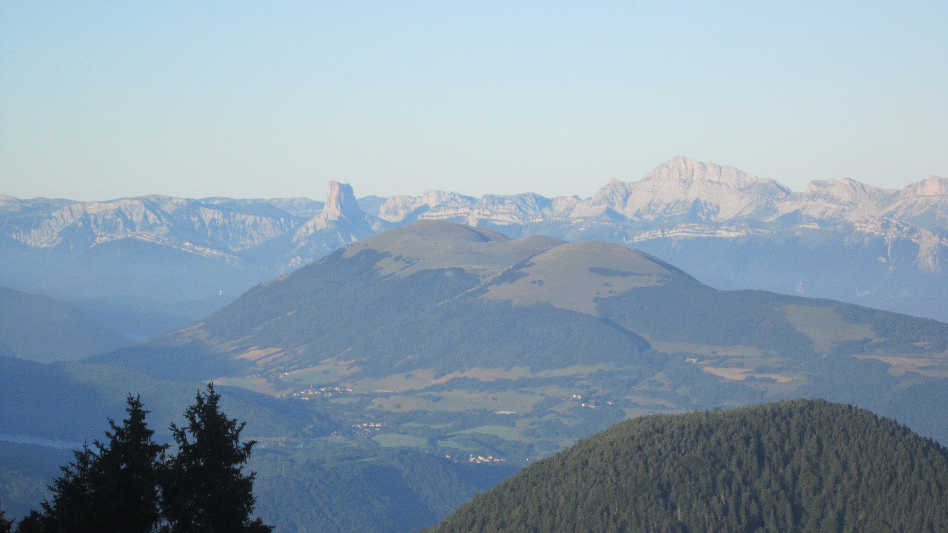
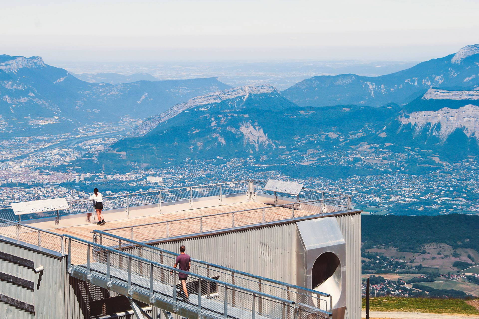
There is of course the famous Croix but also a weather station (not open to the public) and a restaurant of the same name with an exceptional view on the Grenoble valley.
The Cross of Chamrousse seems to have been erected, for the 1st time, in the 17th century.
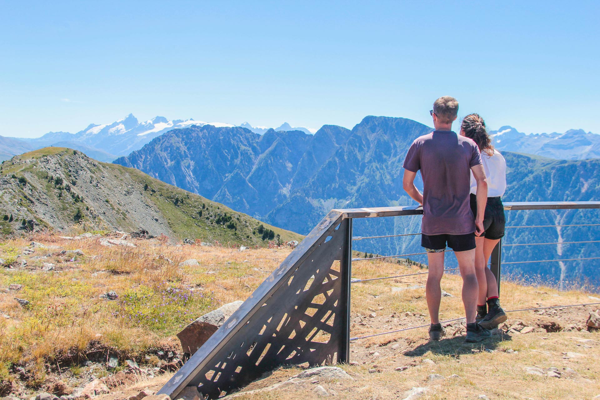
This is how Adolphe Joanne described it in his guide "Dauphiné et Savoie" in the second edition of 1872: A wooden cross, supported by a stone pedestal crowns the top. This cross, erected in 1856, was initially 11 meters high, including the pedestal; knocked down by a violent storm during the winter of 1865-1866, it was restored the following summer by the care of Mr. de Saint-Ferriol, but it is not as high as before. The pedestal is a square of masonry of more than 6 meters on each side. From the foot of the cross, one can see an immense panorama..."
The famous draftsman and lithographer Victor Petit (1818 - 1871) wrote in this "universal newspaper" dated October 4, 1856:
A commemorative cross has just been erected on the summit of one of the highest mountains of the Alps, which dominates Grenoble. The blessing of this cross has given rise to a scene that is certainly rare in the regions where there is permanent snow and glaciers. This cross, built in very strong pieces of wood, was placed on the gaunt summit of the mountain of Champ-Rousse, and on the site of an old cross, at the foot of which Roman medals were discovered.
The new cross, due to a pious and generous initiative, was solemnly blessed in the presence of a large crowd of inhabitants of the mountains and from the surrounding communes of Herbey, Pinay, Vaulnaveys and Uriage-les-Bains.
This meeting of the faithful, at the top of the rocks of Champ-Rousse, presented a curious whole, to which the strangeness, the isolation and the size of the site gave a really imposing character. I thought, Sir, that those of the readers of the Illustration who know the admirable mountains of the French Alps, would not see without some interest the sketch that I have the pleasure to offer you.
Grenoble, September 15, 1856 Victor Petit
Source : website "chamrousse.info".
Opening periodAll year round, daily.
General informations
- Period :
- Fall
- Summer
- Winter
- Spring
- Open year-round
- Type of culturel patrimony :
- Historical sites and buildings
Tarifs
Free access. Charged by La Croix gondola.
Destination
Site historique de la Croix de Chamrousse
Chamrousse 2250
38410
Chamrousse
GPS coordinates
Latitude : 45.125929
Longitude : 5.903297
From Grenoble: car or bus + gondola lift or hike to La Croix summit
Resort road access from Grenoble: Rocade Sud > exit no. 2 "Uriage" > Route départementale 111 (RD 111) Seiglières side for Chamrousse 1650 - Recoin or Luitel side for Chamrousse 1750 - Roche Béranger.
Public transport :
- regular bus service all year round: N93 (to/from Grenoble), stop "Chamrousse 1650" or "Chamrousse 1750" (merger of former T87, Transaltitude, Destination neige Skibus / nature Estibus 707)
- transport by reservation on weekdays excluding public holidays: Flexo 57 (to/from Uriage), stop "Chamrousse 1650 - Le Recoin" or "Chamrousse 1750 - Roche Béranger" (former TAD TouGo - line G701)
- resort shuttle in winter and summer: "Télécabine (1650)" or "Centre Commercial (1750)" stop (to/from other resort hubs and Chamrousse 1600 - plateau de l'Arselle/nordic area).
We also suggest...
7 natural wonders
Chamrousse 1650
- Shuttle stop 300 m away
Chamrousse 2250 Chamrousse 1600
-
Route type :
-
Difficulty :
-
Walking time (round trip) :
- by the day
-
- Shuttle stop 300 m away
Chamrousse 1700 Chamrousse 2250
-
Route type :
-
Difficulty :
Chamrousse 2250
-
Route type :
-
Difficulty :
-
- Help for client/transport
Chamrousse 2250
-
Route type :
-
Difficulty :
-
Walking time (one way) :
- 2 days or more / travelling
-
- Help for client/transport
Chamrousse 1750
-
Route type :
-
Difficulty :
-
Walking time (round trip) :
- by the day
-
- Bus stop 500 m away
Chamrousse 2250
-
Route type :
-
Difficulty :
-
Walking time (round trip) :
- by the day
-
- Help for client/transport
Chamrousse 2250
-
- Free
-
- Help for client/transport
Chamrousse 2250
-
Route type :
-
Difficulty :
-
Walking time (round trip) :
- half day
-
Services :
- 3 Years maximum
-
Grouping by age (EN) :
-
- Help for client/transport
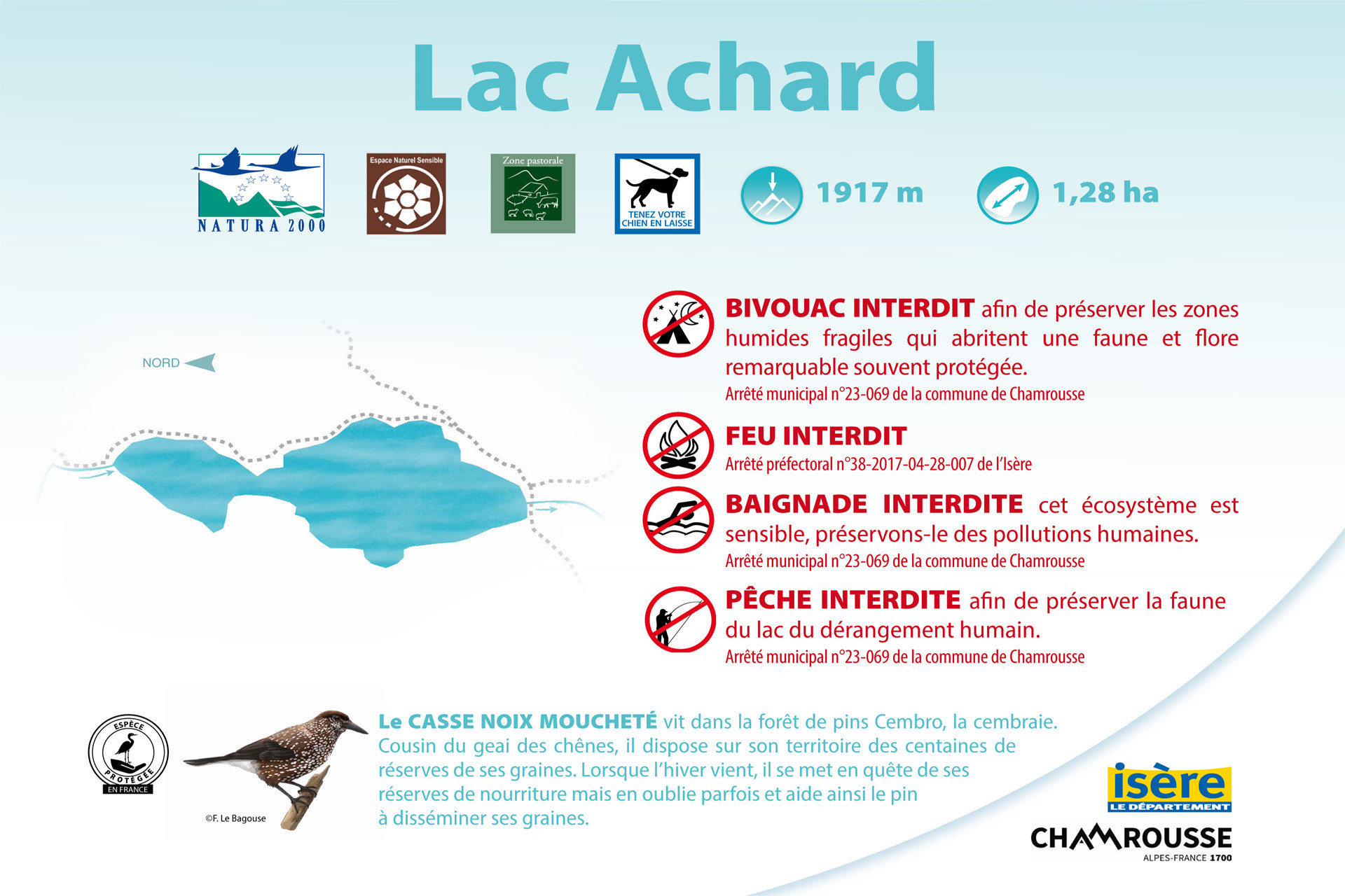
Chamrousse 2250 Baignade interdite Bivouac interdit de début mai à fin octobre
-
Route type :
-
Difficulty :
-
- Help for client/transport
-
- Bus stop 500 m away


