Modified departure - Snowshoeing itinerary: Croix de Chamrousse
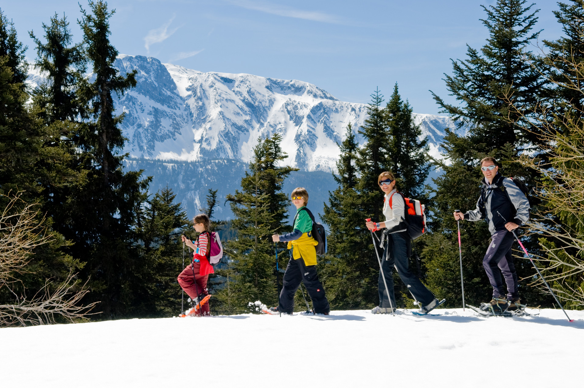
Climb to the top of the Chamrousse resort, through the forest and discover magnificent views.
Departure point: uphill bend in the Bachat Bouloud road, near the Skiset store.
Departure point: uphill bend in the Bachat Bouloud road, near the Skiset store.
From Route de Bachat Bouloud: approx. 5h round trip / 7km and 520m ascent.
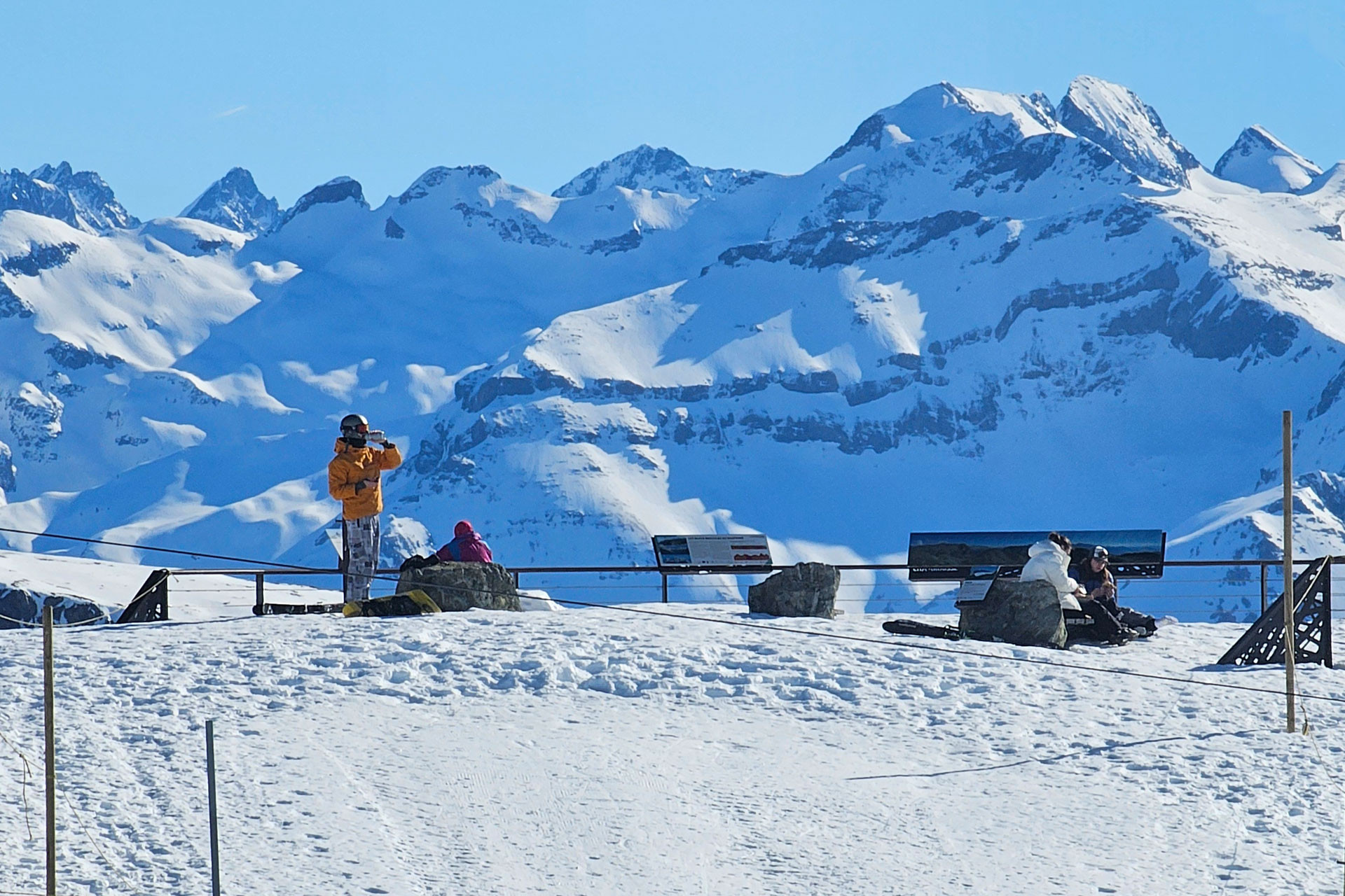
On arrival, the view of Grenoble and the Grésivaudan valley is breathtaking.
Please note that dogs are not allowed on this route.
On arrival, the view of Grenoble and the Grésivaudan valley is breathtaking.
Please note that dogs are not allowed on this route.
Opening periodFrom 01/12 to 15/04 daily.
Subject to snow conditions.
Subject to snow conditions.
Contact
Modified departure - Snowshoeing itinerary: Croix de Chamrousse
Route de Bachat Bouloud
Chamrousse 1700
38410
Chamrousse
- Spoken language(s) :
- French
- English
Route
 Type of route:
:
Aller / Retour
 7
km (distance)
 300
minutes (session length)
 522
metres (positive drop)
 522
metres (negative drop)
 High positive gradient
 Croix de Chamrousse
 Chamrousse 1600 - Plateau de l'Arselle
 Chamrousse 2250 - La Croix
 Departure/Arrival
 Point of interest
Circuit n° 1
New start: uphill bend in the Bachat-Bouloud road.
Public transport :
- Chamrousse 1700 - Villages du Bachat: station shuttle - "Épicéas - Villages du Bachat" stop (to/from Chamrousse 1750 - Roche Béranger)
- Chamrousse 1750 - Roche Béranger (+ station shuttle or walking approach approx. 15 minutes) :
- regular bus service all year round: N93 (to/from Grenoble), stop "Chamrousse 1750" [merging of former bus routes T87, Transaltitude and Destination nature Skibus / Estibus 707].
- bus line / shuttle on reservation weekdays excluding public holidays: Flexo 57 to/from Uriage [former TAD TouGo transport on demand - line G701].
- Mobility :
- Shuttle stop 300 m away
Download
General informations
- Additional openings :
- Depending on snow conditions
Equipments & Services
- Parking :
- Parking facilities nearby
To note
- Environment :
- 300m away from the slopes
Pics
Pics
We also suggest...


