Road bike itinerary: Uriage - Chamrousse (uphill on Seiglières side)
Contact
Road bike itinerary: Uriage - Chamrousse (uphill on Seiglières side)
35 place des Trolles
Chamrousse 1750
38410
Chamrousse
- Spoken language(s) :
- French
- English
Presentation
Take on the Chamrousse climb on a road bike:
- Start: 1st traffic circle at Parc d'Uriage
- Finish: Col de Chamrousse (1795 m) at Chamrousse 1750 - Roche Béranger, via Recoin (Chamrousse 1650).
- Start: 1st traffic circle at Parc d'Uriage
- Finish: Col de Chamrousse (1795 m) at Chamrousse 1750 - Roche Béranger, via Recoin (Chamrousse 1650).
A sporty route on departmental road no. 111, passing through Saint-Martin-d'Uriage and past the Auberge des Seiglières.
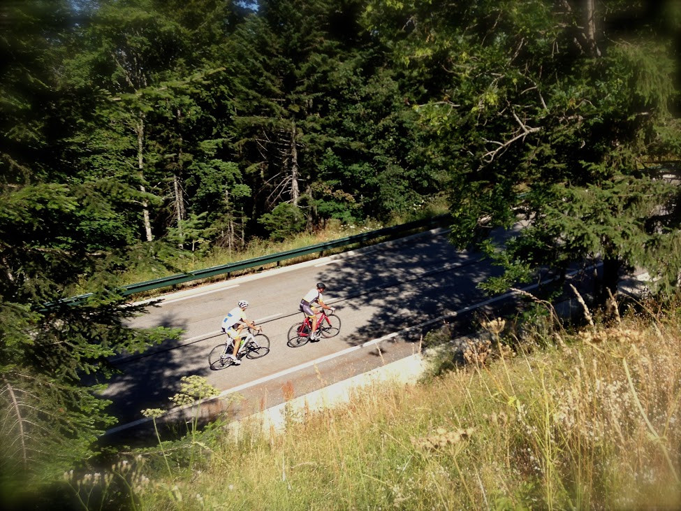
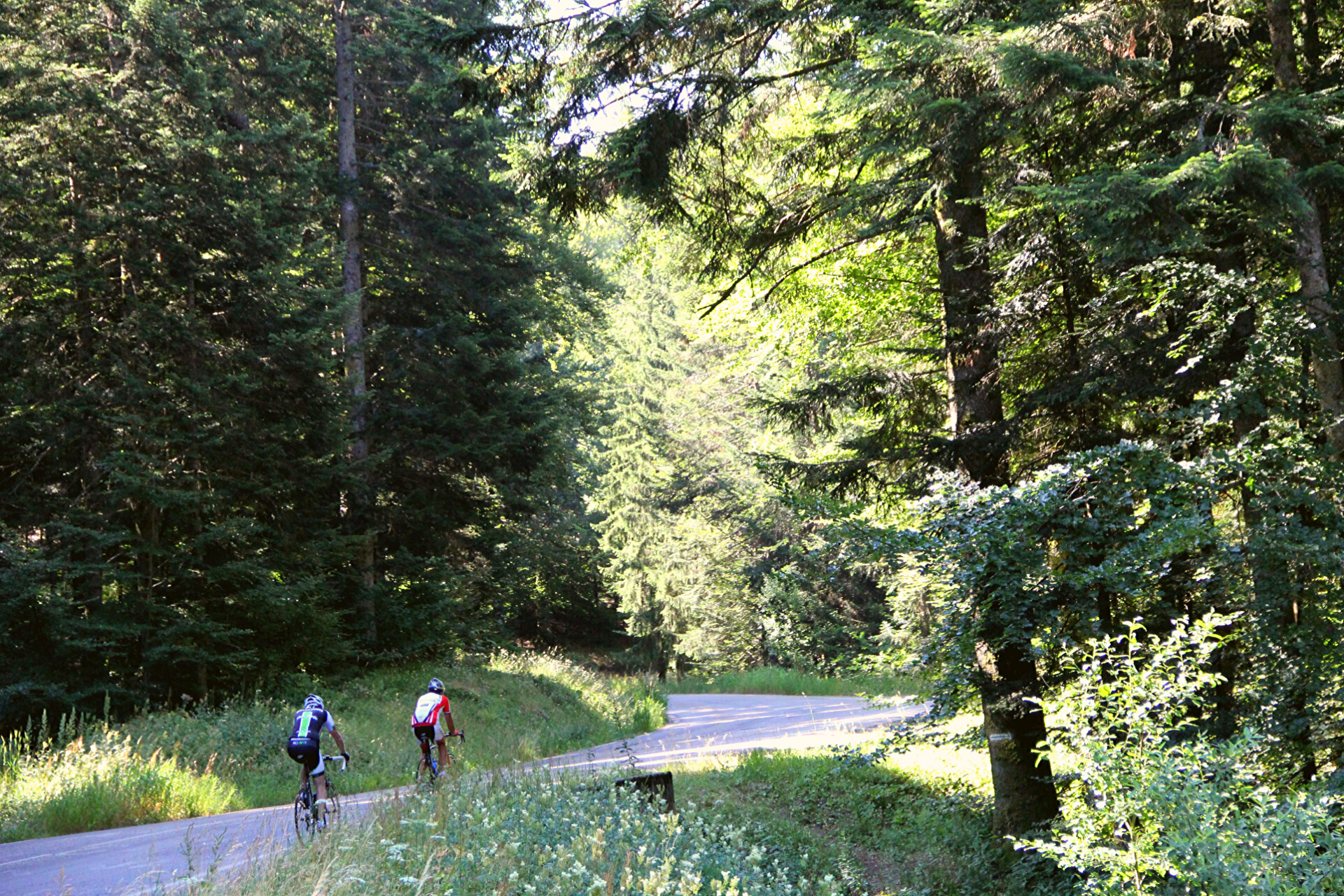
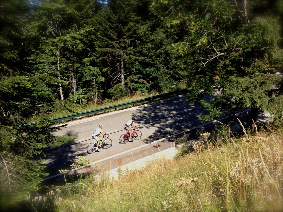
The route climbs up through the fir forest, then meets the slopes on the Casserousse side, before leading to the 2 resort hubs, offering panoramic views of Grenoble and the surrounding mountains.
The route climbs up through the fir forest, then meets the slopes on the Casserousse side, before leading to the 2 resort hubs, offering panoramic views of Grenoble and the surrounding mountains.
Opening periodAll year round.
Subject to favorable weather.
Subject to favorable weather.
Opening day(s)
All year long 2026
Every day
General informations
- Route :
- Grouping by age (EN) :
- Grouping by age (EN)
Tarifs
Free access.
Itinéraire
 Departure/Arrival
 Point of interest
- Internal criteria :
- Chamrousse 1650
- Chamrousse 1750
- Mobility :
- Bus stop 500 m away
We also suggest...


