Grotte de la Balme climbing site
Contact
Grotte de la Balme climbing site
Chamrousse 1650
38410
Chamrousse
Presentation
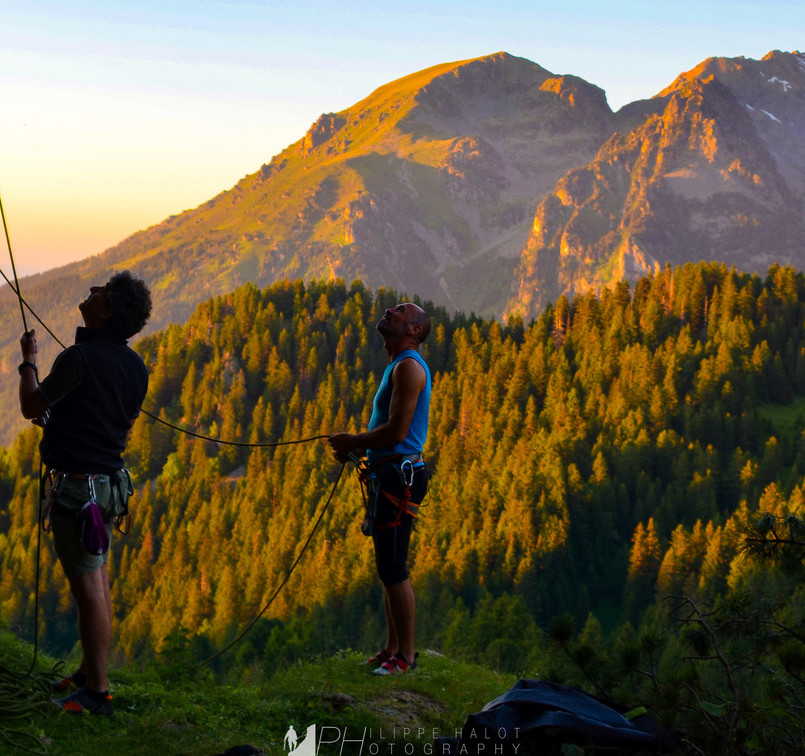
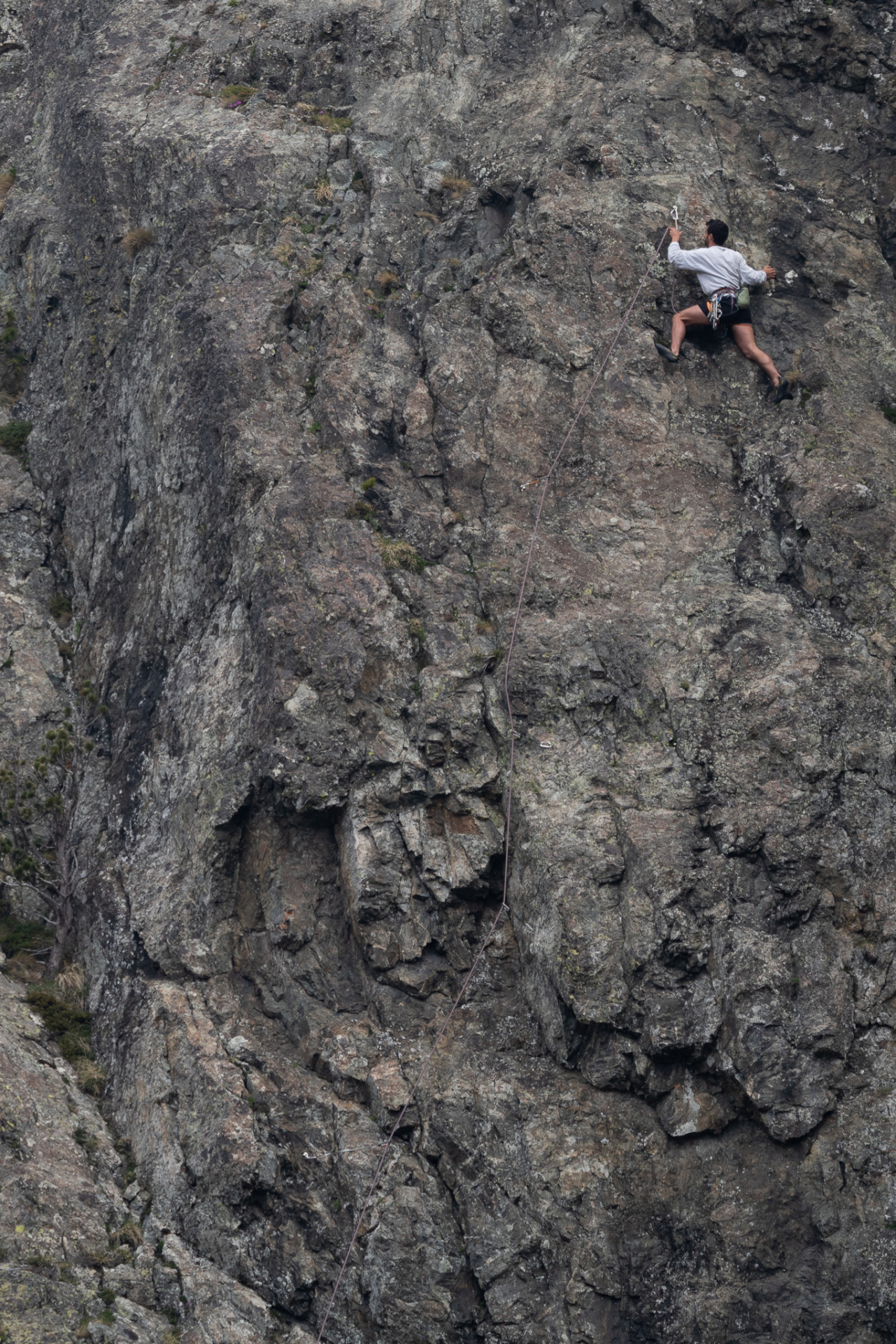
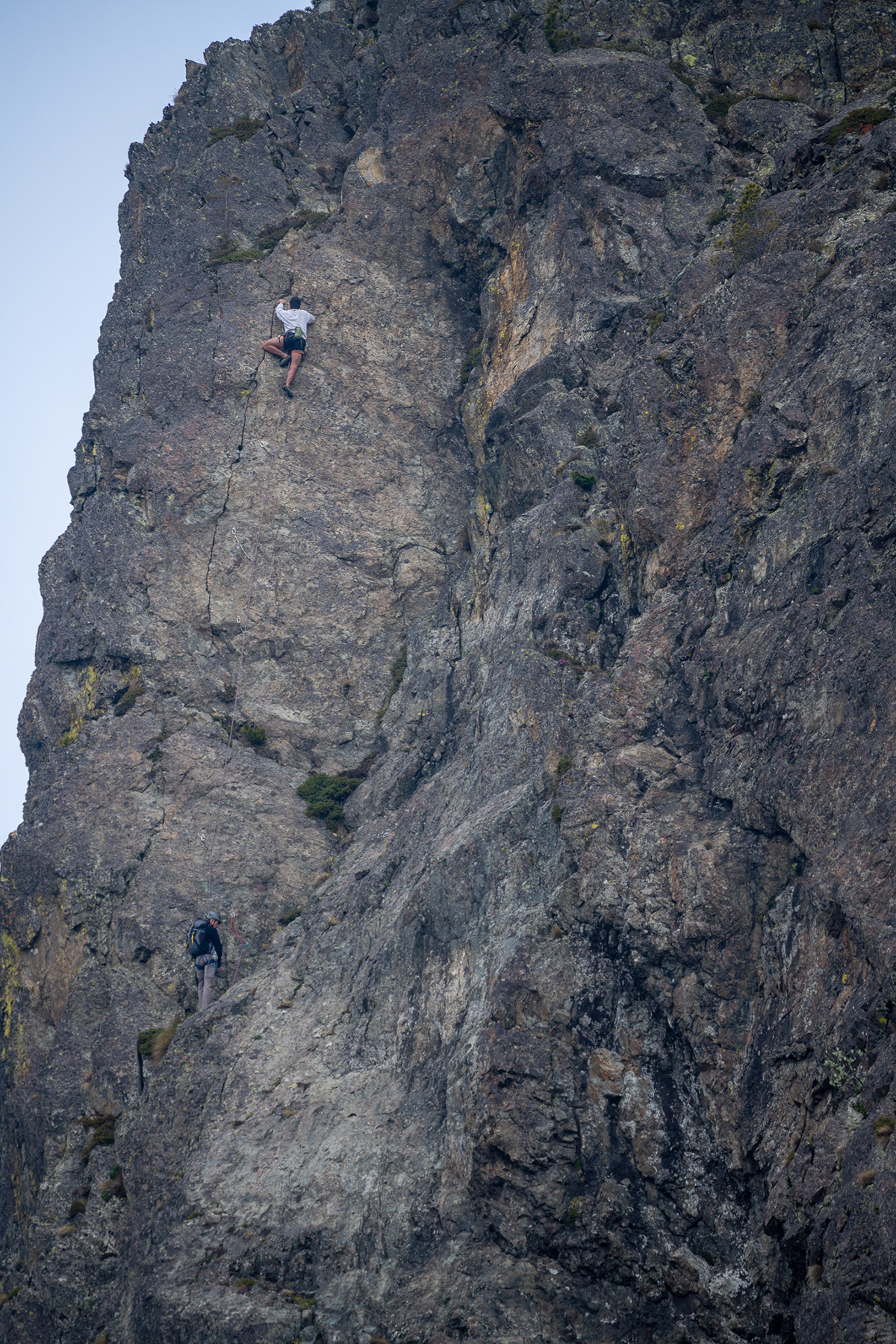
Grotte de Balme site: overhanging routes with big holds and short overhangs. Often wet and cold in summer.
Practical information:
Departure point: Chamrousse 1650
Practice level: advanced (grades 5c to 8a+)
Climbing style: overhanging, steep walls
Equipment: excellent (studs)
Approach time: 45 min.
Best period: May to October
- Massif: Belledonne
- IGN map: 3335 OT
- Altitude: 1750 m
- Direction: east
- Rock: gneiss
- Number of routes: 22
- Minimum route height: 10 m
- Maximum track height: 20 m
Grotte de Balme is the only sedimentary rock site in the commune. Cargneule is a carbonate sedimentary rock with yellow, brown, red and rusty hues. When they outcrop as monoliths, they create open caves, such as balmes or baumes.
Climbing here is very athletic and sometimes traumatic for the skin if you lack practice.
Approach to climbing site :
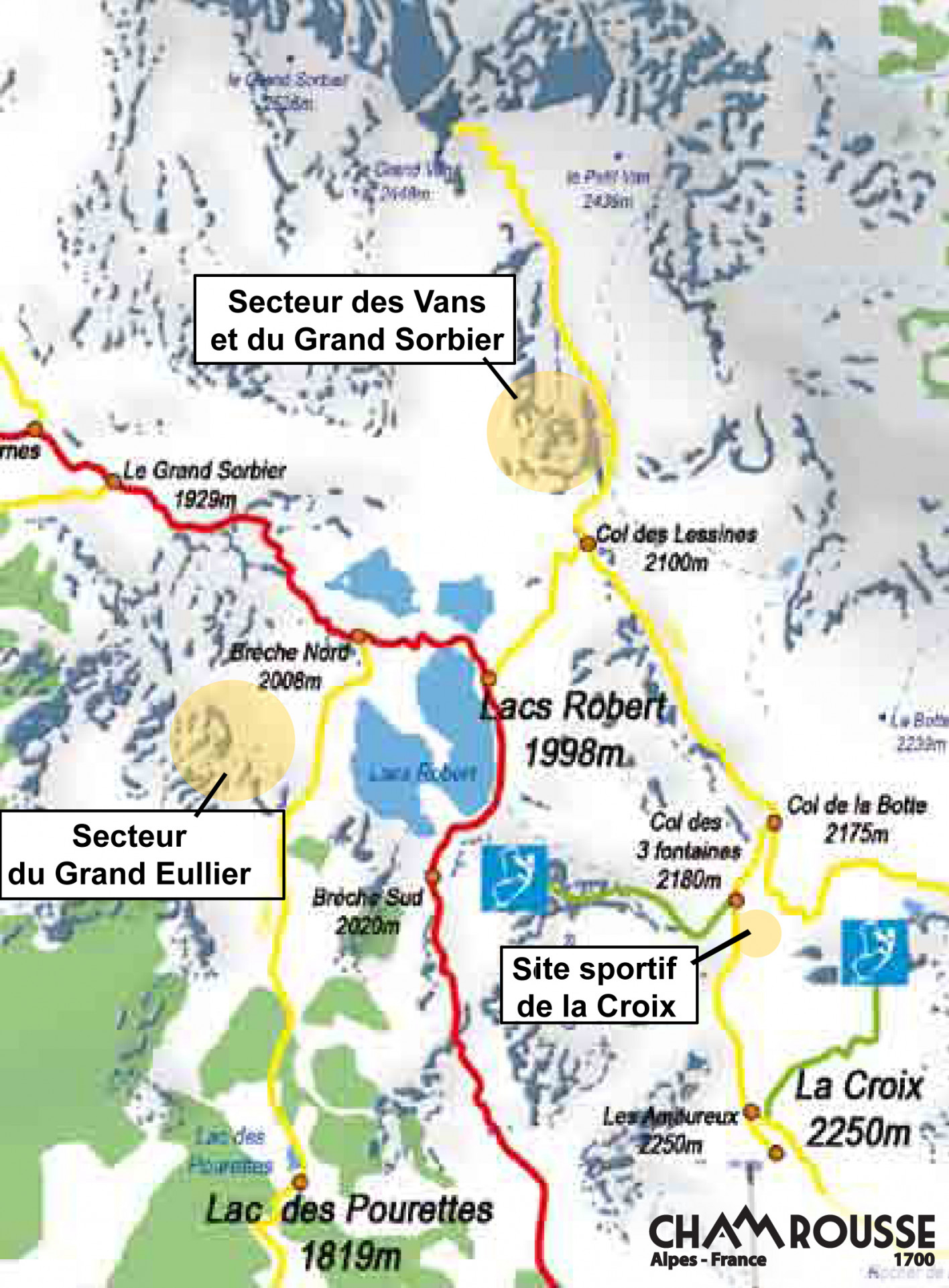
From Recoin - 1650m, head towards Lacs Robert on the GR738. Pass the Col de l'Aiguille and head towards Lac des Pourettes. Follow the path to the cave on your left.
Opening periodFrom 01/05 to 31/10 daily.
Open all year round - accessible depending on snow conditions.
Open all year round - accessible depending on snow conditions.
Opening day(s)
From 01 May to 31 October(every year)
Every day
Open all year round - accessible depending on snow conditions
General informations
- Grouping by age (EN) :
- Grouping by age (EN)
Tarifs
Free access.
Itinéraire
 Departure/Arrival
 Point of interest
Resort road access from Grenoble: Rocade Sud > exit no. 2 "Uriage" > Road n°111 (RD 111) Seiglières side.
Recommended parking at Chamrousse 1650: parking Henry Duhamel (P7), avenue Henry Duhamel (200 meters and about a 2-minute walk).
Public transport - Chamrousse 1650 - Recoin stop:
- regular bus line: N93 (to/from Grenoble), "Chamrousse 1650" stop (merger of former T87, Transaltitude, Skibus / Estibus 707)
- bookable transport: Flexo 57 (to/from Uriage), "Chamrousse - Le Recoin" stop (former TAD TouGo - line G701)
- Internal criteria :
- Chamrousse 1650
We also suggest...


