Bachat-Bouloud climbing site
Contact
Bachat-Bouloud climbing site
Chamrousse 1700
38410
Chamrousse
- Spoken language(s) :
- French
Presentation
Bachat-Bouloud school climbing site (Village du Bachat)
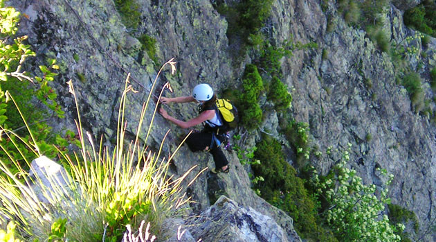
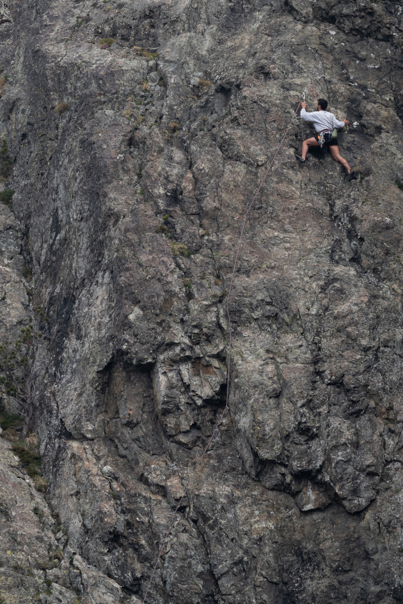
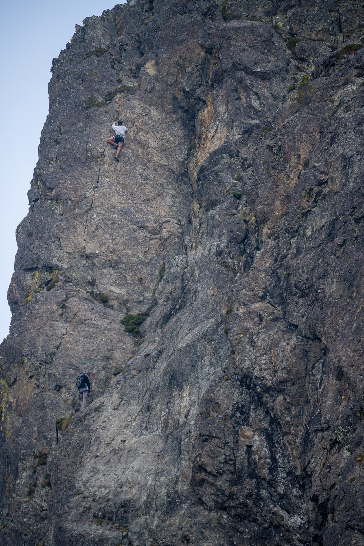
Rocky ridge appropriate for beginners thanks to its close holds and its easy routes level.
Rocky ridge appropriate for beginners thanks to its close holds and its easy routes level.
Practical information:
Location: Chamrousse 1700
Practice level: beginner
Approach time: 10-15 min
Favourable period: May to October
- Massif: Belledonne
- IGN map: 3335 OT
- Altitude: 1700 m
- Rock: gneiss
- Number of routes: 152
- Minimum route height: 3 m
- Maximum route height: 22 m
- Climbing style: walls, slabs with rulers, varied slabs, some overhangs
- Boulder orientation: multiple
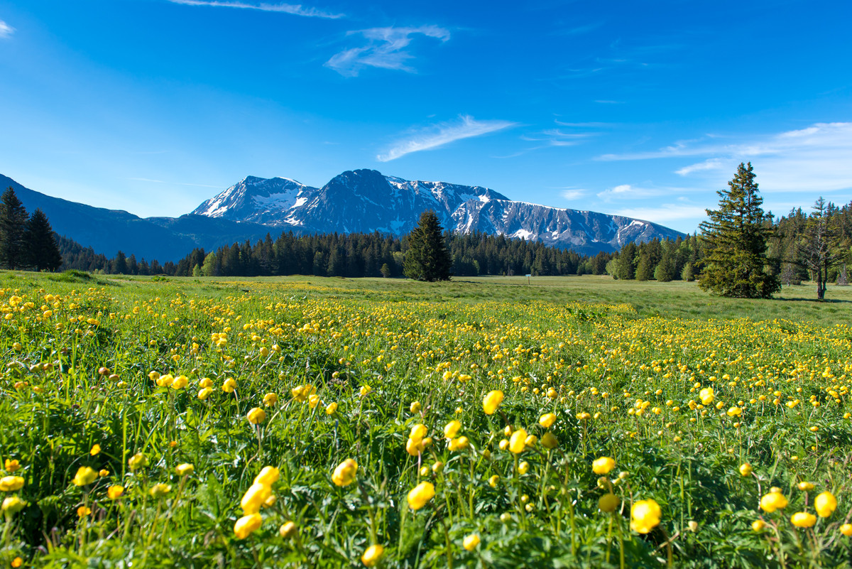
Because of the peat bog that makes up the plateau, and its landscape, botanical and faunistic interest, the Arselle plateau is a natural area protected by an arrêté préfectoral de protection de biotope. The aim of this decree is to preserve the site and the plant and animal species present.
From the Chamrousse 1750 stop, follow the road that runs alongside the ski slopes towards the village of Bachat (Route de Bachat Bouloud), then take the forest track that starts eastwards in the hairpin bend. The area is on the left along this track.
Opening periodFrom 01/05 to 31/10 daily.
Open all year round - accessible depending on snow conditions.
Open all year round - accessible depending on snow conditions.
Additional welcomeIt is your responsibility to assess your climbing ability. Respect safety rules. Check your equipment.
NOTES :
> Recommended rope length: 45m
> Rocks 7 and 12 are equipped only for windmills. All others are mostly equipped for lead climbing, and are indicated in the route list: Equipped for lead climbing.
> The top of the boulders are easily accessible for setting up moulinettes. Beware of reckless children.
Opening day(s)
From 01 May to 31 October(every year)
Every day
Open all year round - accessible depending on snow conditions
General informations
- Grouping by age (EN) :

- Grouping by age (EN)
Tarifs
Free access.
Itinéraire
 Departure/Arrival
 Point of interest
Public transport - main bus stop Chamrousse 1750 - Roche Béranger + 9 minutes approach time (or secondary shuttle stop Chamrousse 1700 - Villages du Bachat + 5 minutes) :
• regular bus service all year round: N93 (to/from Grenoble), "Chamrousse 1750" stop [merger of former bus routes T87, Transaltitude and Destination neige Skibus / nature Estibus 707].
• bus line / shuttle on reservation weekdays excluding public holidays: Flexo 57 to/from Uriage [former TAD TouGo transport on demand - line G701].
Resort road access from Grenoble: Rocade Sud > exit no. 2 "Uriage" > Route départementale 111 (RD 111) on the Luitel side.
Recommended parking: Bachat Bouloud village
Access: from the Bachat village parking lot (close to the Alté Chamrousse Aventures tree-climbing park), head east, finding a forest track in a hairpin bend. At the start of the path, find a "reservation" sign with a map where it's easy to find your way around. This sign was used when the Bachat Bouloud centers were in operation. Children from the center had priority in this sector (hence the sign).
Jean-Jaques Terne, the fitter, has studied the layout of the sealed spindles to suit the pedagogy of the children and teenagers.
Some boulders are only equipped with moulinettes (7, 10 bis and 12).
Recommended ropes: 40 m
Boulders 2 and 3 are immediately on the left, a few meters from the road.
Boulders 4, 5 and 6 are further to the left, after crossing the old "piste des clairières" (under the line of the now-defunct chairlift of the same name).
For boulders 7, 8 and 9, look for a clearing on the left of the piste. They're right at the bottom: you'll find boulder 7 first, with the others to follow.
Boulders 12, 13 and 14 are at the bottom of the Astragale trail (15-minute walk).
- Internal criteria :
- Chamrousse 1700
We also suggest...


