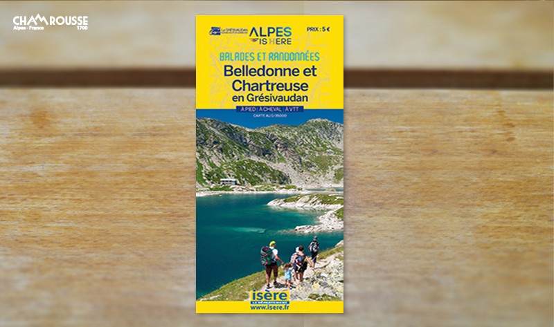
Belledonne and Chamrousse paths map - €5
Contact
Office de Tourisme
Place de Belledonne
38410
CHAMROUSSE
Presentation
Belledonne and Chamrousse hiking, mountain biking and horsing tracks map
The Grésivaudan map-guide offers 900km of signposted routes and 80 commented circuits for walking, horse riding and mountain biking.
Between Grenoble and Chambéry, in the foothills of the Belledonne. Produced by the Département de l'Isère.
Map at 1: 35 000 (1 cm = 350 m).
The Grésivaudan map-guide offers 900km of signposted routes and 80 commented circuits for walking, horse riding and mountain biking.
Between Grenoble and Chambéry, in the foothills of the Belledonne. Produced by the Département de l'Isère.
Map at 1: 35 000 (1 cm = 350 m).
Tarifs
5€ one item


